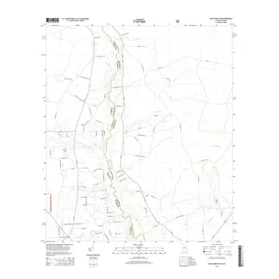
2014 Map of Macclenny NW
USGS Topo · Published 2014About this map
The Saint Marys River meanders along the interstate border between Florida and Georgia, serving as the primary geographic axis for this rural landscape. To the west, the dense timberlands of the Osceola National Forest define the edge of the wilderness, while the surrounding terrain is etched by a complex drainage network including the North Prong and Middle Prong. The road system reflects a deeply rooted community of family-owned lands and farmsteads, with numerous local thoroughfares like Frederick Raulerson Rd, Noah Raulerson Rd, and James Crews Rd named for established area families. Smaller watercourses such as Bluff Creek and Sparkman Creek further fragment the low-lying plains, illustrating the water-dependent nature of land use in this border region.
Find a feature on this map
77 named features on this map. Tap any name to fly to it.
Don’t see what you’re looking for? This feature index may not catch every label — zoom into the map to look around manually.
Map Details
Editions of this 2014 Macclenny NW Map
This is the sole edition of this map. No revisions or reprints were ever made.
Other maps of this area

1917 · Macclenny
USGS Topo · 1:62,500

1918 · Moniac
USGS Topo · 1:62,500

1918 · Macclenny
USGS Topo · 1:62,500

1942 · Moniac
USGS Topo · 1:62,500

1954 · Valdosta
USGS Topo · 1:250,000

1956 · Eddy
USGS Topo · 1:24,000

1958 · Valdosta
USGS Topo · 1:250,000

1959 · Valdosta
USGS Topo · 1:250,000
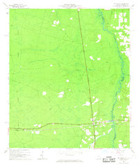
1966 · St George
USGS Topo · 1:24,000
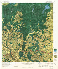
1967 · Moniac
USGS Topo · 1:24,000