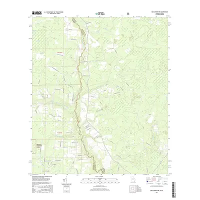
2017 Map of Macclenny NW
USGS Topo · Published 2017About this map
The Saint Marys River defines the winding boundary between Baker County, Florida, and Charlton County, Georgia, carving a complex path through this lowland landscape. The river's various branches, including the North Prong Saint Marys River and Middle Prong Saint Marys River, create a dense network of wetlands and minor tributaries like Barber Br and Tiger Br. Large wetland basins such as Sparkman Bay, Moccasin Bay, and Whites Flat Bay punctuate the northern terrain, indicating the saturated nature of the Florida-Georgia borderlands.
Find a feature on this map
90 named features on this map. Tap any name to fly to it.
Don’t see what you’re looking for? This feature index may not catch every label — zoom into the map to look around manually.
Map Details
Editions of this 2017 Macclenny NW Map
This is the sole edition of this map. No revisions or reprints were ever made.
Other maps of this area

1917 · Macclenny
USGS Topo · 1:62,500

1918 · Moniac
USGS Topo · 1:62,500

1918 · Macclenny
USGS Topo · 1:62,500

1942 · Moniac
USGS Topo · 1:62,500

1954 · Valdosta
USGS Topo · 1:250,000

1956 · Eddy
USGS Topo · 1:24,000

1958 · Valdosta
USGS Topo · 1:250,000

1959 · Valdosta
USGS Topo · 1:250,000
1966 · St George
USGS Topo · 1:24,000
1967 · Moniac
USGS Topo · 1:24,000