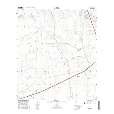
2016 Map of Macdona
USGS Topo · Published 2016About this map
Macdona and Von Ormy serve as focal points in this Bexar County landscape, where the Medina River meanders through a network of rural roads and family-named landmarks. The area's history is deeply rooted in its local burial grounds, including the San Isidro Cem, Hermann Cem, and Becker Cem, which are scattered among the waterways of Potranca Cr and Medio Cr. The map shows a clear division between the more developed residential clusters near Valley Hi and the open agricultural and ranch lands to the southwest. Significant water features like Scott Lake and the O R Mitchell Lake 1 provide markers for the low-lying terrain. The presence of Star Smith Field and the Medina Air Force Base Lake further underscores the diverse land use, from aviation to military-related water management, that characterizes this portion of the Texas plains.
Find a feature on this map
136 named features on this map. Tap any name to fly to it.
Don’t see what you’re looking for? This feature index may not catch every label — zoom into the map to look around manually.
Map Details
Editions of this 2016 Macdona Map
This is the sole edition of this map. No revisions or reprints were ever made.
Other maps of this area

1942 · Natalia
USGS Topo · 1:62,500

1953 · Culebra Hill
USGS Topo · 1:24,000

1953 · San Antonio West
USGS Topo · 1:24,000

1953 · Terrell Wells
USGS Topo · 1:24,000

1953 · Macdona
USGS Topo · 1:24,000

1954 · San Antonio
USGS Topo · 1:250,000

1957 · San Antonio
USGS Topo · 1:250,000

1958 · La Coste
USGS Topo · 1:24,000

1958 · Somerset
USGS Topo · 1:24,000

1958 · La Coste NE
USGS Topo · 1:24,000