
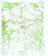
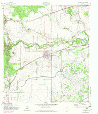
1958 Map of La Coste
USGS Topo · Published 1961About this map
The Medina River valley in the late 1950s is defined by a complex network of water management and transportation, where the Medina Irrigation Canal snakes through the landscape south of Lacoste. This era captures the transition of the regional economy, with the Southern Pacific and Missouri Pacific railroads providing vital connections through settlements like Pearson. To the northwest, the Castroville Air Force Auxiliary Field stands as a prominent Cold War-era landmark near the historic community of Castroville, complete with its own Tetrahedron navigational marker. The map reveals the intricate drainage patterns of Potecat Creek and Sous Creek, which fed the agricultural lifeblood of Medina County before modern suburban expansion. Local education and faith are centered at Our Lady of Grace Sch, serving the families living between the river bluffs and the rising elevation of Rhins Hill.
Find a feature on this map
20 named features on this map. Tap any name to fly to it.
Don’t see what you’re looking for? This feature index may not catch every label — zoom into the map to look around manually.
Map Details
Editions of this 1958 La Coste Map
3 editions found
Other maps of this area

1942 · Natalia
USGS Topo · 1:62,500

1953 · Culebra Hill
USGS Topo · 1:24,000

1953 · Macdona
USGS Topo · 1:24,000

1954 · San Antonio
USGS Topo · 1:250,000

1957 · San Antonio
USGS Topo · 1:250,000

1958 · Somerset
USGS Topo · 1:24,000

1958 · La Coste NE
USGS Topo · 1:24,000

1964 · Riomedina
USGS Topo · 1:24,000

1964 · Castroville
USGS Topo · 1:24,000

1964 · Devine
USGS Topo · 1:24,000