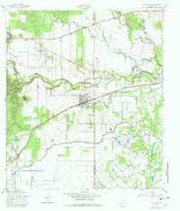
1958 Map of La Coste
USGS Topo · Published 1982About this map
Castroville and the surrounding Texas landscape are defined by the winding course of the Medina River and an extensive network of water management in the late 1950s. The presence of the Medina Irrigation Canal cutting across the terrain highlights the region's agricultural reliance on diverted water. To the south, La Coste serves as a local hub along the Southern Pacific tracks, featuring Our Lady of Grace Sch and several unnamed cemeteries.
Find a feature on this map
21 named features on this map. Tap any name to fly to it.
Don’t see what you’re looking for? This feature index may not catch every label — zoom into the map to look around manually.
Map Details
Editions of this 1958 La Coste Map
3 editions found
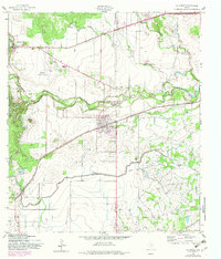
Other maps of this area

1942 · Natalia
USGS Topo · 1:62,500

1953 · Culebra Hill
USGS Topo · 1:24,000

1953 · Macdona
USGS Topo · 1:24,000

1954 · San Antonio
USGS Topo · 1:250,000

1957 · San Antonio
USGS Topo · 1:250,000

1958 · La Coste
USGS Topo · 1:24,000

1958 · Somerset
USGS Topo · 1:24,000

1958 · La Coste NE
USGS Topo · 1:24,000

1964 · Riomedina
USGS Topo · 1:24,000

1964 · Castroville
USGS Topo · 1:24,000