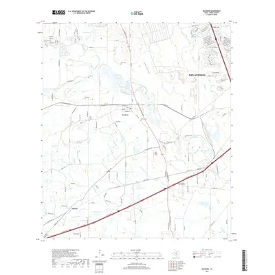
2019 Map of Macdona
USGS Topo · Published 2019About this map
The Medina River meanders across this southwestern Bexar County landscape, defining a region where rural heritage meets the expanding outskirts of San Antonio. This area is particularly rich in family-named landmarks and historical burial grounds, such as Becker Cem, Arnold Cem, and Tripp Cem, which anchor the landscape around the community of Macdona. The terrain is shaped by a network of waterways including Potranca Cr, Polecat Cr, and Medio Cr, alongside smaller features like Luckey Lake and Scott Lake.
Find a feature on this map
131 named features on this map. Tap any name to fly to it.
Don’t see what you’re looking for? This feature index may not catch every label — zoom into the map to look around manually.
Map Details
Editions of this 2019 Macdona Map
This is the sole edition of this map. No revisions or reprints were ever made.
Other maps of this area

1942 · Natalia
USGS Topo · 1:62,500

1953 · Culebra Hill
USGS Topo · 1:24,000

1953 · San Antonio West
USGS Topo · 1:24,000

1953 · Terrell Wells
USGS Topo · 1:24,000

1953 · Macdona
USGS Topo · 1:24,000

1954 · San Antonio
USGS Topo · 1:250,000

1957 · San Antonio
USGS Topo · 1:250,000

1958 · La Coste
USGS Topo · 1:24,000

1958 · Somerset
USGS Topo · 1:24,000

1958 · La Coste NE
USGS Topo · 1:24,000