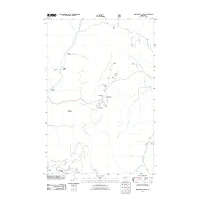
2011 Map of MacDonald Pass
USGS Topo · Published 2011About this map
Frontier Town sits at a high elevation along the continental divide, marking a significant point of interest for travelers navigating the Boulder Mountains west of Helena. This 2011 survey details the mountain passes and deep gulches that define the area's geography, including the notable MacDonald Pass and Priest Pass. The landscape is etched with the history of extraction and recreation, featuring the Third Term Mine near Little Flume Gulch alongside several seasonal camps and public lands.
Find a feature on this map
34 named features on this map. Tap any name to fly to it.
Don’t see what you’re looking for? This feature index may not catch every label — zoom into the map to look around manually.
Map Details
Editions of this 2011 MacDonald Pass Map
This is the sole edition of this map. No revisions or reprints were ever made.
Other maps of this area

1889 · Helena
USGS Topo · 1:250,000

1893 · Helena
USGS Topo · 1:250,000

1899 · Boulder
USGS Topo · 1:125,000

1899 · Helena
USGS Topo · 1:250,000

1903 · Helena
USGS Topo · 1:250,000

1947 · Butte
USGS Topo · 1:250,000

1950 · Jefferson City
USGS Topo · 1:62,500

1950 · Helena
USGS Topo · 1:62,500

1954 · Basin
USGS Topo · 1:62,500

1958 · Butte
USGS Topo · 1:250,000