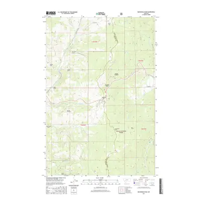
2017 Map of MacDonald Pass
USGS Topo · Published 2017About this map
The Continental Divide winds along the crest of the Boulder Mountains in this high-altitude survey of the border between Lewis and Clark and Powell counties. Centered on the high mountain passes, the landscape is defined by the historic transportation corridors of MacDonald Pass and Priest Pass. The settlement at Frontier Town and the residential area of Forest Heights sit along the winding roads that navigate the steep terrain.
Find a feature on this map
37 named features on this map. Tap any name to fly to it.
Don’t see what you’re looking for? This feature index may not catch every label — zoom into the map to look around manually.
Map Details
Editions of this 2017 MacDonald Pass Map
This is the sole edition of this map. No revisions or reprints were ever made.
Other maps of this area

1889 · Helena
USGS Topo · 1:250,000

1893 · Helena
USGS Topo · 1:250,000

1899 · Boulder
USGS Topo · 1:125,000

1899 · Helena
USGS Topo · 1:250,000

1903 · Helena
USGS Topo · 1:250,000

1947 · Butte
USGS Topo · 1:250,000

1950 · Jefferson City
USGS Topo · 1:62,500

1950 · Helena
USGS Topo · 1:62,500

1954 · Basin
USGS Topo · 1:62,500

1958 · Butte
USGS Topo · 1:250,000