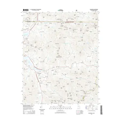
2014 Map of Macedonia
USGS Topo · Published 2014About this map
Chatuge Lake dominates the western landscape of this Georgia mountain region, where the Hiwassee River feeds into the reservoir. The terrain is defined by a dense network of high ridges and narrow coves, including Bearmeat Gap and Brush Ridge, which transition into the protected expanses of the Chattahoochee National Forest and Nantahala National Forest at the state line. Small communities and family settlements like Macedonia and Osborn are situated along the valley floors, connected by historic routes such as Upper Hightower Rd and Kelly Bridge. Genealogists will find a high concentration of burial grounds throughout these coves, including the Macedonia Cem, Osborn Cem, and Ivy Mtn Cem, reflecting the deep-rooted family histories of Towns County and the adjacent Rabun County borderlands.
Find a feature on this map
216 named features on this map. Tap any name to fly to it.
Don’t see what you’re looking for? This feature index may not catch every label — zoom into the map to look around manually.
Map Details
Editions of this 2014 Macedonia Map
This is the sole edition of this map. No revisions or reprints were ever made.
Other maps of this area

1886 · Dahlonega
USGS Topo · 1:125,000

1892 · Dahlonega
USGS Topo · 1:125,000

1896 · Dahlonega
USGS Topo · 1:125,000

1903 · Dahlonega
USGS Topo · 1:125,000

1935 · Osborn
USGS Topo · 1:24,000

1935 · Rainbow Springs
USGS Topo · 1:24,000

1935 · Shooting Creek
USGS Topo · 1:24,000

1935 · Wayah Bald
USGS Topo · 1:48,000

1935 · Hightower Bald
USGS Topo · 1:24,000

1935 · Tray Mountain
USGS Topo · 1:24,000