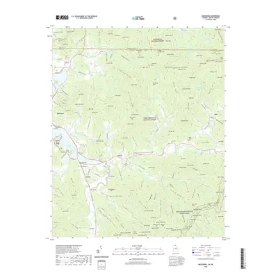
2020 Map of Macedonia
USGS Topo · Published 2020About this map
Chatuge Lake and the Hiawassee River define the western valley of this mountain landscape, where the Unicoi-Tpke follows the river corridor south from Macedonia. The map illustrates a dense network of family and community landmarks, particularly through the high concentration of cemeteries such as Macedonia Cem, Lower Hightower Cem, and Corn Cem that serve the small settlements of Osborn and Presley. To the east, the terrain rises into the Nantahala National Forest and Chattahoochee National Forest, bridged by the Appalachian National Scenic Trail. This era shows the continued importance of the Hightower Creek drainage for rural settlement, with numerous coves like Hickorynut Cove and Owenby Cove tucked between the ridges of the Blue Ridge Mountains.
Find a feature on this map
210 named features on this map. Tap any name to fly to it.
Don’t see what you’re looking for? This feature index may not catch every label — zoom into the map to look around manually.
Map Details
Editions of this 2020 Macedonia Map
This is the sole edition of this map. No revisions or reprints were ever made.
Other maps of this area

1886 · Dahlonega
USGS Topo · 1:125,000

1892 · Dahlonega
USGS Topo · 1:125,000

1896 · Dahlonega
USGS Topo · 1:125,000

1903 · Dahlonega
USGS Topo · 1:125,000

1935 · Osborn
USGS Topo · 1:24,000

1935 · Rainbow Springs
USGS Topo · 1:24,000

1935 · Shooting Creek
USGS Topo · 1:24,000

1935 · Wayah Bald
USGS Topo · 1:48,000

1935 · Hightower Bald
USGS Topo · 1:24,000

1935 · Tray Mountain
USGS Topo · 1:24,000