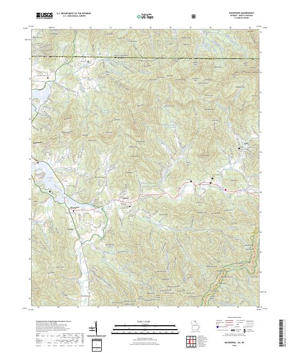
2024 Map of Macedonia
USGS Topo · Published 2024About this map
Macedonia and the surrounding valley of the Hiwassee River are the central focus of this survey, which straddles the border between Georgia and North Carolina. This high-altitude landscape is defined by the intersections of the Nantahala National Forest and Chattahoochee National Forest, where steep gaps like Lemons Gap and Hickorynut Gap provided historical transit routes through the mountains. For those looking for family history, the map documents numerous rural burial sites including Macedonia Cem, Carter Cem, and Corn Cem, many situated near headwater streams like Hightower Creek. The presence of the Southern Nantahala Wilderness and landmarks such as Shooting Creek Bald reflect a region where large-scale conservation has preserved the character of the Blue Ridge terrain while maintaining the distinct footprints of small communities like Osborn and Titus.
Find a feature on this map
253 named features on this map. Tap any name to fly to it.
Don’t see what you’re looking for? This feature index may not catch every label — zoom into the map to look around manually.
Map Details
Editions of this 2024 Macedonia Map
This is the sole edition of this map. No revisions or reprints were ever made.
Other maps of this area

1886 · Dahlonega
USGS Topo · 1:125,000

1892 · Dahlonega
USGS Topo · 1:125,000

1896 · Dahlonega
USGS Topo · 1:125,000

1903 · Dahlonega
USGS Topo · 1:125,000

1935 · Osborn
USGS Topo · 1:24,000

1935 · Rainbow Springs
USGS Topo · 1:24,000

1935 · Shooting Creek
USGS Topo · 1:24,000

1935 · Wayah Bald
USGS Topo · 1:48,000

1935 · Hightower Bald
USGS Topo · 1:24,000

1935 · Tray Mountain
USGS Topo · 1:24,000