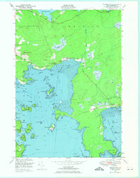
1949 Map of Machias Bay
USGS Topo · Published 1974About this map
Holmes Bay and its intricate network of coves and islands define this Washington County coast, where the land and sea meet in a complex of mud flats and rocky points. Inland, small rural settlements like Lowell and Ackley are scattered among prominent elevations such as Enoch Hill and Woodruff Mtn. The social fabric of the era is anchored by local landmarks like the Holmes Bay Ch and Holmes Bay Sch, which served as central nodes for the surrounding community.
Find a feature on this map
72 named features on this map. Tap any name to fly to it.
Don’t see what you’re looking for? This feature index may not catch every label — zoom into the map to look around manually.
Map Details
Editions of this 1949 Machias Bay Map
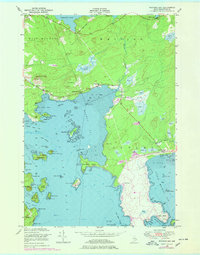
2 editions found
Other maps of this area

1907 · Eastport
USGS Topo · 1:48,000

1908 · Eastport
USGS Topo · 1:62,500

1917 · Cutler
USGS Topo · 1:62,500

1918 · Machias
USGS Topo · 1:62,500

1918 · Cutler
USGS Topo · 1:62,500

1941 · Machias
USGS Topo · 1:62,500

1941 · Gardner Lake
USGS Topo · 1:62,500

1943 · Gardner Lake
USGS Topo · 1:62,500

1943 · Eastport
USGS Topo · 1:62,500

1945 · Eastport
USGS Topo · 1:62,500