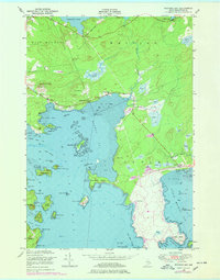
1949 Map of Machias Bay
USGS Topo · Published 1978About this map
Machias Bay defines this coastal landscape where the townships of East Machias, Whiting, and Cutler converge. The shoreline is a complex network of points and coves, from the tidal flats of Randall Point Flats to the sheltered waters of Bucks Harbor. Scattered inland settlements like Lowell and Ackley are connected by the Cutler Road, while the community focal points of the Holmes Bay Ch and Holmes Bay Sch sit near the head of the bay.
Find a feature on this map
69 named features on this map. Tap any name to fly to it.
Don’t see what you’re looking for? This feature index may not catch every label — zoom into the map to look around manually.
Map Details
Editions of this 1949 Machias Bay Map
2 editions found
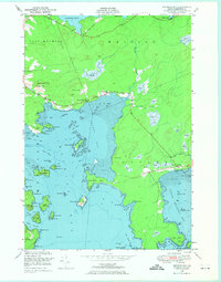
Other maps of this area

1907 · Eastport
USGS Topo · 1:48,000

1908 · Eastport
USGS Topo · 1:62,500

1917 · Cutler
USGS Topo · 1:62,500

1918 · Machias
USGS Topo · 1:62,500

1918 · Cutler
USGS Topo · 1:62,500

1941 · Machias
USGS Topo · 1:62,500

1941 · Gardner Lake
USGS Topo · 1:62,500

1943 · Gardner Lake
USGS Topo · 1:62,500

1943 · Eastport
USGS Topo · 1:62,500

1945 · Eastport
USGS Topo · 1:62,500