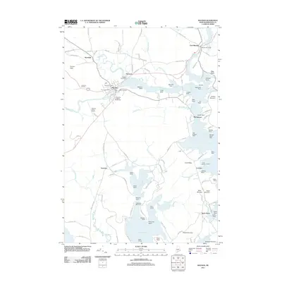
2011 Map of Machias
USGS Topo · Published 2011About this map
The Machias River and its various tributaries, including the Middle River and Libby Brook, dominate the landscape of Washington County in this early 21st-century survey. The hub of Machias serves as the focal point, containing the University of Maine at Machias and the Machias Post Office, while the surrounding rural communities of Marshfield and Hoyttown maintain a connection to the interior ridge lands like Pumpkin Ridge. Industrial and historical markers are scattered throughout the quadrangle, from the Bangor Hydro Dam near East Machias to the coastal significance of Fort O'Brien overlooking the bay.
Find a feature on this map
107 named features on this map. Tap any name to fly to it.
Don’t see what you’re looking for? This feature index may not catch every label — zoom into the map to look around manually.
Map Details
Editions of this 2011 Machias Map
This is the sole edition of this map. No revisions or reprints were ever made.
Other maps of this area

1918 · Machias
USGS Topo · 1:62,500

1921 · Columbia Falls
USGS Topo · 1:62,500

1941 · Columbia Falls
USGS Topo · 1:62,500

1941 · Machias
USGS Topo · 1:62,500

1941 · Wesley
USGS Topo · 1:62,500

1941 · Gardner Lake
USGS Topo · 1:62,500

1942 · Columbia Falls
USGS Topo · 1:62,500

1943 · Wesley
USGS Topo · 1:62,500

1943 · Gardner Lake
USGS Topo · 1:62,500

1948 · Jonesport
USGS Topo · 1:24,000