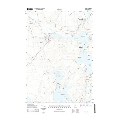
2014 Map of Machias
USGS Topo · Published 2014About this map
The Machias River dominates this coastal landscape as it flows through the historic shire town and outward into a complex network of bays and coves. The town of Machias serves as an educational and civic hub, home to the Univ of Maine at Machias and protected by its proximity to the Machias Valley Airport. To the east, the East Machias River meets the sea near East Machias and the small settlement of Dog Town.
Find a feature on this map
133 named features on this map. Tap any name to fly to it.
Don’t see what you’re looking for? This feature index may not catch every label — zoom into the map to look around manually.
Map Details
Editions of this 2014 Machias Map
This is the sole edition of this map. No revisions or reprints were ever made.
Other maps of this area

1918 · Machias
USGS Topo · 1:62,500

1921 · Columbia Falls
USGS Topo · 1:62,500

1941 · Columbia Falls
USGS Topo · 1:62,500

1941 · Machias
USGS Topo · 1:62,500

1941 · Wesley
USGS Topo · 1:62,500

1941 · Gardner Lake
USGS Topo · 1:62,500

1942 · Columbia Falls
USGS Topo · 1:62,500

1943 · Wesley
USGS Topo · 1:62,500

1943 · Gardner Lake
USGS Topo · 1:62,500

1948 · Jonesport
USGS Topo · 1:24,000