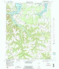
1968 Map of Machodoc
USGS Topo · Published 1983About this map
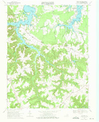
Mc Guires Wharf and the surrounding landings on the Northern Neck provide a detailed look at the rural coastal landscape of Westmoreland County during the late 1960s. The map illustrates a community anchored by maritime access and small inland settlements like Mount Holly, Hague, and Oldhams. The hydrology of the region is prominent, featuring the wide expanse of Lower Machodoc Creek and the meandering Nomini Creek, where numerous family-named points and coves, such as Jenkins Pt and Palmers Cove, define the shoreline.
Find a feature on this map
92 named features on this map. Tap any name to fly to it.
Don’t see what you’re looking for? This feature index may not catch every label — zoom into the map to look around manually.
Map Details
Editions of this 1968 Machodoc Map
2 editions found
Other maps of this area

1892 · Piney Point
USGS Topo · 1:62,500

1892 · Montross
USGS Topo · 1:62,500

1894 · Piney Point
USGS Topo · 1:62,500

1895 · Nomini
USGS Topo · 1:125,000

1895 · Piney Point
USGS Topo · 1:62,500

1895 · Montross
USGS Topo · 1:62,500

1898 · Nomini
USGS Topo · 1:125,000

1901 · Piney Point
USGS Topo · 1:62,500

1917 · Morattico
USGS Topo · 1:62,500

1918 · Tappahannock
USGS Topo · 1:62,500