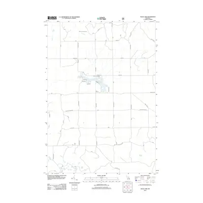
2012 Map of Mack Lake
USGS Topo · Published 2012About this map
Mack Lake and its surrounding woodlands define this northern Michigan landscape in 2012, characterized by a complex network of seasonal roads and recreational trails. The Mack Lake Recreation Area serves as a central hub for the region, where a cluster of residential streets such as Huron Dr and Summit Dr meet the water's edge. To the north, the Mack Lake Lookout Tower stands near the headwaters of Loud Cr, a reminder of the area's essential fire management history.
Find a feature on this map
40 named features on this map. Tap any name to fly to it.
Don’t see what you’re looking for? This feature index may not catch every label — zoom into the map to look around manually.
Map Details
Editions of this 2012 Mack Lake Map
This is the sole edition of this map. No revisions or reprints were ever made.
Other maps of this area

1954 · Traverse City
USGS Topo · 1:250,000

1954 · Tawas City
USGS Topo · 1:250,000

1958 · Traverse City
USGS Topo · 1:250,000

1958 · Tawas City
USGS Topo · 1:250,000

1965 · Damon
USGS Topo · 1:24,000

1965 · Rose City
USGS Topo · 1:24,000

1968 · South Branch
USGS Topo · 1:24,000

1972 · McKinley
USGS Topo · 1:24,000

1972 · Goodar
USGS Topo · 1:24,000

1972 · Mio
USGS Topo · 1:24,000