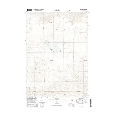
2014 Map of Mack Lake
USGS Topo · Published 2014About this map
Huron National Forest provides the setting for this corner of Northern Michigan, where the border of Oscoda and Ogemaw Counties cuts through a landscape defined by glacial kettle lakes and sandy forest tracks. The area around Mack Lake is marked by a network of local roads such as Colgrove Rd and Eggleston Rd, supporting a mix of seasonal recreation and forestry.
Find a feature on this map
42 named features on this map. Tap any name to fly to it.
Don’t see what you’re looking for? This feature index may not catch every label — zoom into the map to look around manually.
Map Details
Editions of this 2014 Mack Lake Map
This is the sole edition of this map. No revisions or reprints were ever made.
Other maps of this area

1954 · Traverse City
USGS Topo · 1:250,000

1954 · Tawas City
USGS Topo · 1:250,000

1958 · Traverse City
USGS Topo · 1:250,000

1958 · Tawas City
USGS Topo · 1:250,000

1965 · Damon
USGS Topo · 1:24,000

1965 · Rose City
USGS Topo · 1:24,000

1968 · South Branch
USGS Topo · 1:24,000

1972 · McKinley
USGS Topo · 1:24,000

1972 · Goodar
USGS Topo · 1:24,000

1972 · Mio
USGS Topo · 1:24,000