Loading...
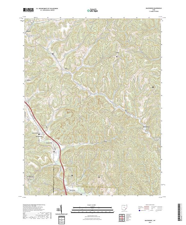
Loading map...2023 Map of Macksburg
USGS Topo · Published 2023About this map
Macksburg and Dexter City anchor this landscape along the border of Noble and Washington Counties. The terrain is defined by the winding paths of Middle Fork Duck Creek and West Fork Duck Creek, which have shaped the settlement patterns of villages like South Olive and Middleburg. These drainage basins are flanked by prominent elevations such as Old Tom Ridge, creating a network of hollows and runs, including Goose Hollow and Buffalo Run, that dictate the local road layout.
Find a feature on this map
99 named features on this map. Tap any name to fly to it.
Don’t see what you’re looking for? This feature index may not catch every label — zoom into the map to look around manually.
Map Details
Date Portrayed2023
Date Published2023
PublisherU.S. Geological Survey
Map TypeTopographic
Scale1:24000
Physical Dimensions24 x 29 inches
Editions of this 2023 Macksburg Map
This is the sole edition of this map. No revisions or reprints were ever made.
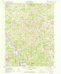
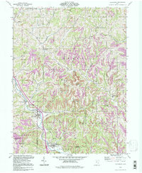
Historical Maps of South Olive Through Time
5 maps found


Featured Locations
Source Details
SourceU.S. Geological Survey
CopyrightPublic Domain