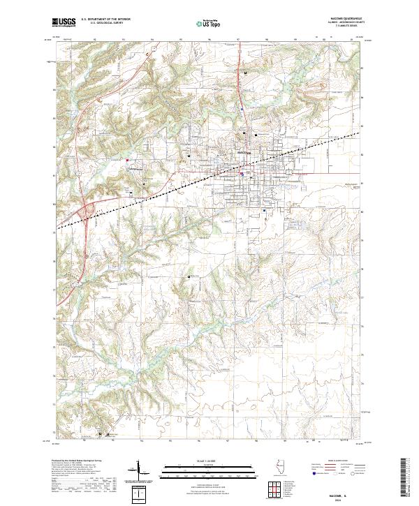
2024 Map of Macomb
USGS Topo · Published 2024About this map
Western Illinois University sits at the heart of this landscape, its campus core surrounded by the residential and commercial street grids of Macomb. The town’s expansion is visible in the transition from dense urban blocks to the more modern layout of Georgetown to the west. This 2024 map documents a community deeply connected to its origins, with a high concentration of burial grounds including Oakwood Cem, Old Macomb Cem, and Old Catholic Cem framing the northern and western edges of the settlement.
Find a feature on this map
89 named features on this map. Tap any name to fly to it.
Don’t see what you’re looking for? This feature index may not catch every label — zoom into the map to look around manually.
Map Details
Editions of this 2024 Macomb Map
This is the sole edition of this map. No revisions or reprints were ever made.
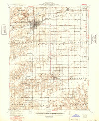
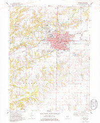
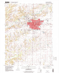
Historical Maps of Macomb Through Time
7 maps found