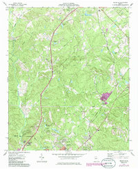
1973 Map of Macon NE
USGS Topo · Published 1985About this map
The Central of Georgia railroad cuts through the terrain of Jones County, connecting rural settlements like Morton and Postell during the early 1970s. The landscape is defined by the headwaters of numerous creeks, including Walnut Creek, Sand Creek, and Rock Creek, which feed into local basins like Anderson Lake and Brasswells Lake. The map reveals a high density of family and community landmarks, particularly evident in the number of small burial grounds such as Moore Cem, Harris Cem, and the Henderson-Stripling Cem.
Find a feature on this map
48 named features on this map. Tap any name to fly to it.
Don’t see what you’re looking for? This feature index may not catch every label — zoom into the map to look around manually.
Map Details
Editions of this 1973 Macon NE Map
2 editions found
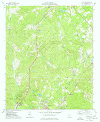
Other maps of this area

1953 · Athens
USGS Topo · 1:250,000

1956 · Gordon
USGS Topo · 1:62,500

1956 · Macon West
USGS Topo · 1:24,000

1956 · Macon East
USGS Topo · 1:24,000

1956 · Macon
USGS Topo · 1:62,500

1957 · Macon
USGS Topo · 1:250,000

1958 · Macon
USGS Topo · 1:250,000

1958 · Athens
USGS Topo · 1:250,000

1959 · Athens
USGS Topo · 1:250,000

1963 · Athens
USGS Topo · 1:250,000