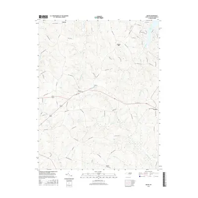
2016 Map of Macon
USGS Topo · Published 2016About this map
The town of Macon serves as the central hub of this northern Warren County landscape, situated where local routes converge amid a network of creeks and branches. To the east, the settlement of Vaughan sits near the headwaters of Hubquarter Cr, while the southern reaches of the map are defined by the crossroads at Embro and the winding course of Little Fishing Cr. The terrain is characterized by a high density of named family roads and historic cemeteries, such as Greenwood Cem, which provide significant value for genealogists tracing family footprints across these rural tracts.
Find a feature on this map
73 named features on this map. Tap any name to fly to it.
Don’t see what you’re looking for? This feature index may not catch every label — zoom into the map to look around manually.
Map Details
Editions of this 2016 Macon Map
This is the sole edition of this map. No revisions or reprints were ever made.
Other maps of this area

1919 · White Plains
USGS Topo · 1:48,000

1920 · White Plains
USGS Topo · 1:62,500

1953 · Norfolk
USGS Topo · 1:250,000

1953 · Greensboro
USGS Topo · 1:250,000

1954 · Greensboro
USGS Topo · 1:250,000

1962 · Greensboro
USGS Topo · 1:250,000

1963 · Gasburg
USGS Topo · 1:24,000

1966 · Greensboro
USGS Topo · 1:250,000

1968 · South Hill SE
USGS Topo · 1:24,000

1968 · Bracey
USGS Topo · 1:24,000