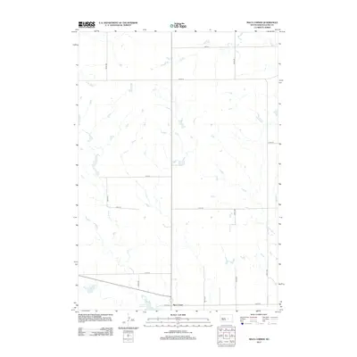
2012 Map of Macs Corner
USGS Topo · Published 2012About this map
Macs Corner serves as a central point in this prairie landscape, where the intersection of 216th St and 338th Ave marks a quiet pocket of Hyde County. The terrain is defined by its subtle drainage patterns, most notably the meandering course of the W Fork Elm Cr as it winds through the central and western portions of the quadrangle. In the southern reaches, Lake Ambrose provides a distinct hydrological landmark in an area otherwise dominated by a rigid grid of section-line roads such as 213th St and 208th St. This 2012 survey illustrates the enduring nature of the rural township structure, showing how modern transportation routes like State Highway 34 align with historic land divisions to connect this agricultural region.
Find a feature on this map
13 named features on this map. Tap any name to fly to it.
Don’t see what you’re looking for? This feature index may not catch every label — zoom into the map to look around manually.
Map Details
Editions of this 2012 Macs Corner Map
This is the sole edition of this map. No revisions or reprints were ever made.
Other maps of this area

1953 · Huron
USGS Topo · 1:250,000

1954 · Huron
USGS Topo · 1:250,000

1966 · Big Bend Dam NE
USGS Topo · 1:24,000

1966 · Stephan
USGS Topo · 1:24,000

1966 · Lower Brule NE
USGS Topo · 1:24,000

1973 · Chapelle Lake SE
USGS Topo · 1:24,000

1973 · Macs Corner NE
USGS Topo · 1:24,000

1973 · Macs Corner SE
USGS Topo · 1:24,000

1973 · Chapelle Lake
USGS Topo · 1:24,000

1973 · Macs Corner
USGS Topo · 1:24,000
Featured Places
- Mac's Corner, Fort Thompson District
- Fort Thompson District, SD
- Hyde County, SD
- United States
- South Dakota