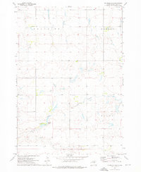
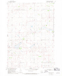
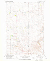
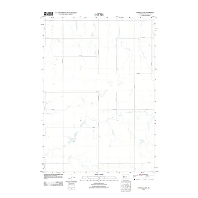
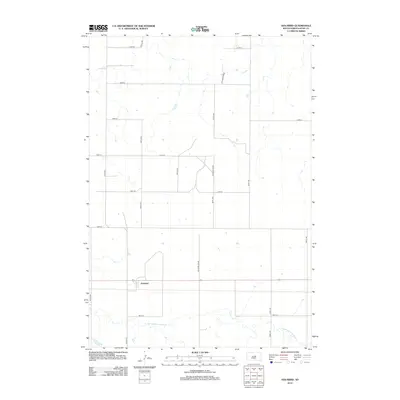
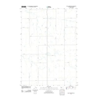
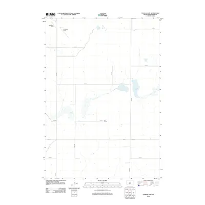
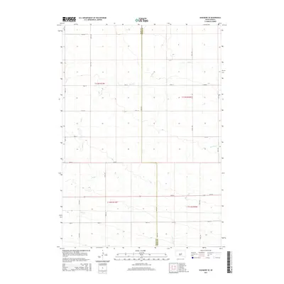
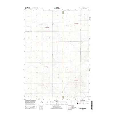
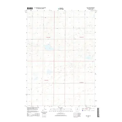
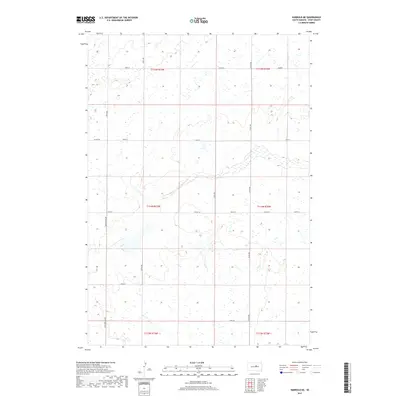
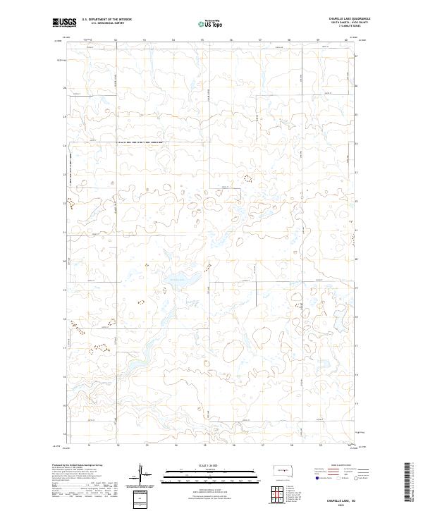
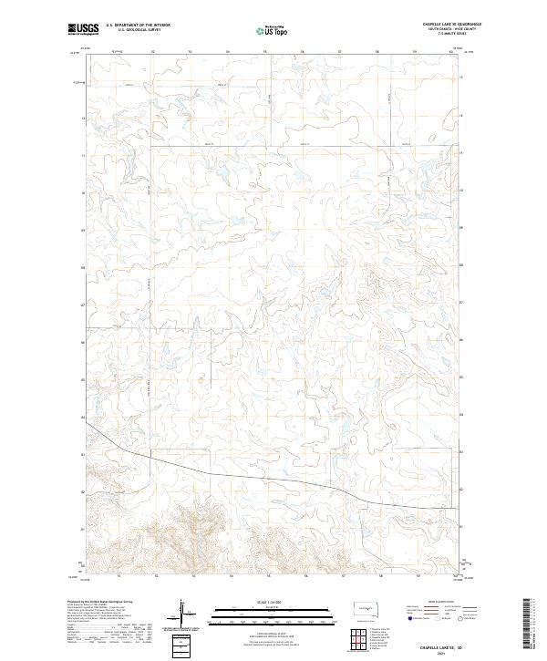
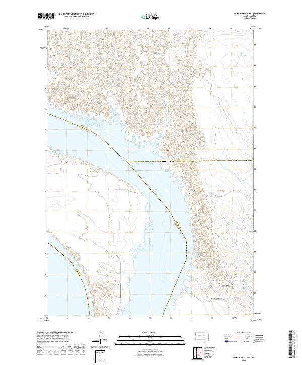
1973 Map of Chapelle Lake
USGS Topo · Published 1976About this map
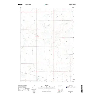
Chapelle Lake and its surrounding prairie landscape are documented here in the early 1970s, revealing a region defined by scattered water features and institutional landmarks. The map traces the winding course of Chapelle Creek as it moves through the townships of Holabird, Highmore, and Eagle. A notable human-interest feature is the Chapelle Sch, a point of focus for local genealogy and education history in this part of Hyde County.
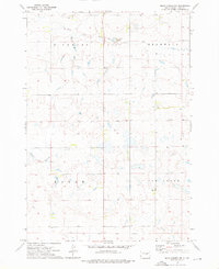
Find a feature on this map
10 named features on this map. Tap any name to fly to it.
Don’t see what you’re looking for? This feature index may not catch every label — zoom into the map to look around manually.
Map Details
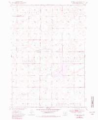
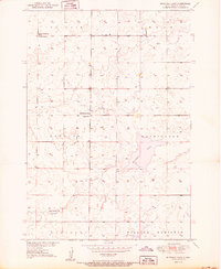
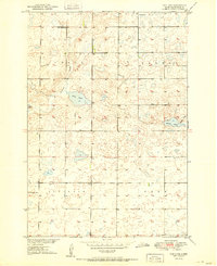
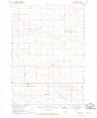
Editions of this 1973 Chapelle Lake Map
This is the sole edition of this map. No revisions or reprints were ever made.
Historical Maps of Hyde County Through Time
66 maps found
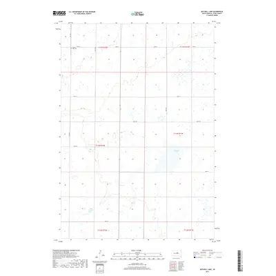
1949 Mitchell Lake
Hyde County, SD

1950 Highmore SE
Hyde County, SD
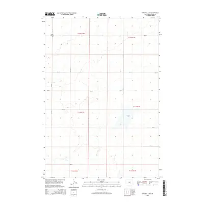
1950 Mitchell Lake
Hyde County, SD
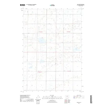
1951 Rice Lake
Hyde County, SD

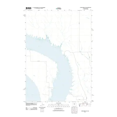
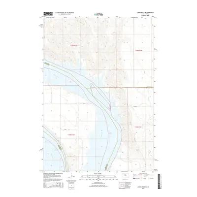
1966 Lower Brule NE
Hyde County, SD
1968 Harrold NE
Hyde County, SD
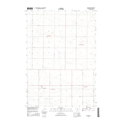
1968 Holabird
Hyde County, SD
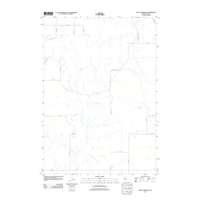
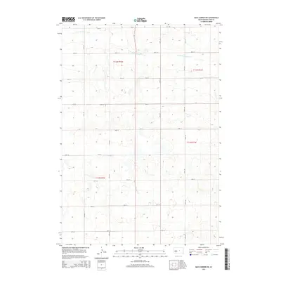
1973 Chapelle Lake
Hyde County, SD
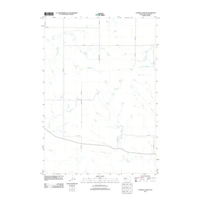
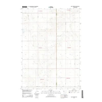
1973 Chapelle Lake SE
Hyde County, SD
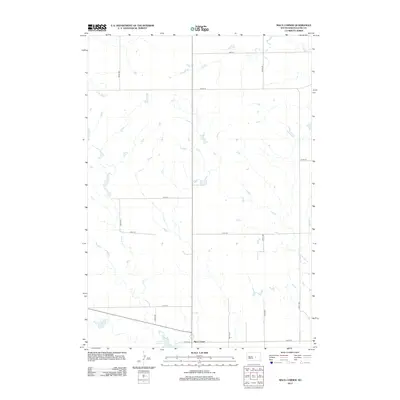
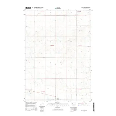
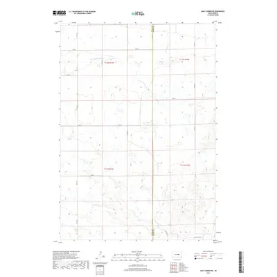
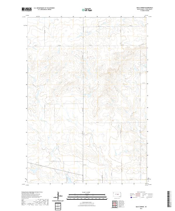
1973 Macs Corner
Hyde County, SD
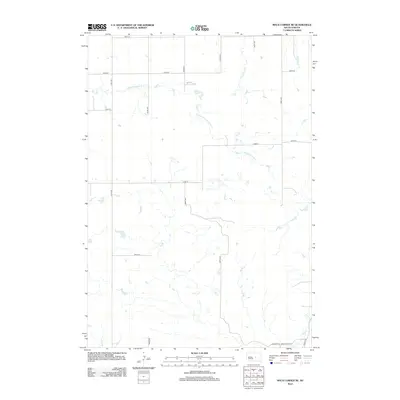
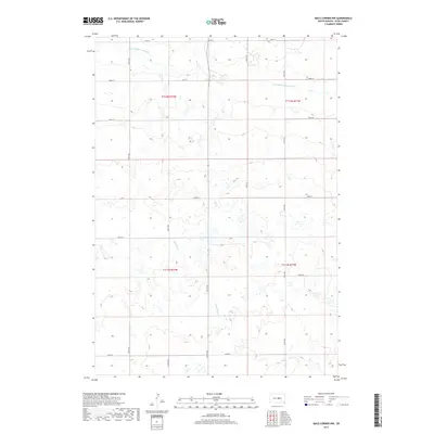
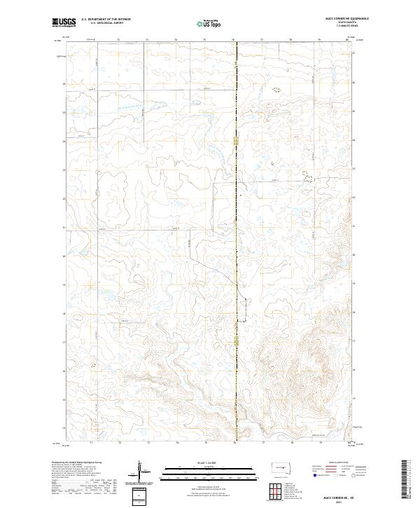
1973 Macs Corner NE
Hyde County, SD
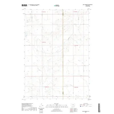
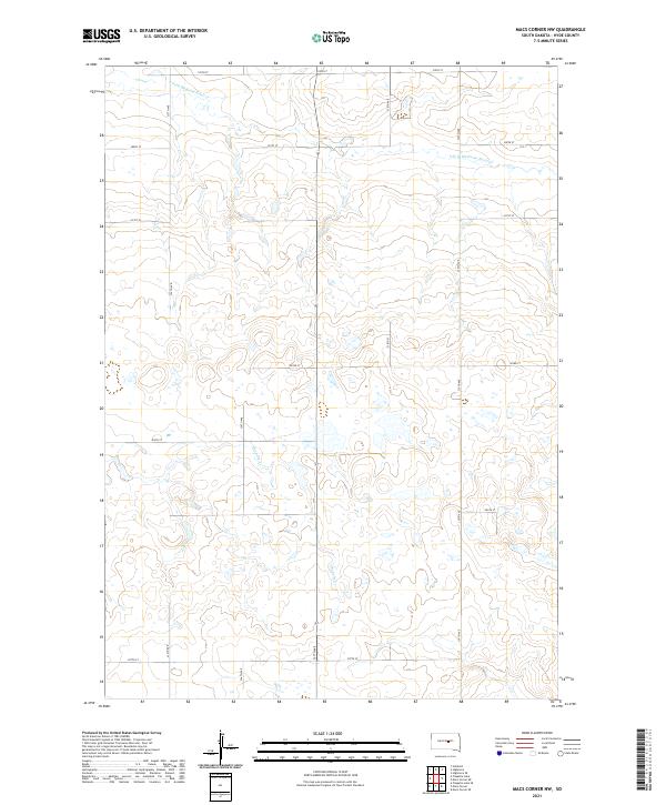
1973 Macs Corner NW
Hyde County, SD
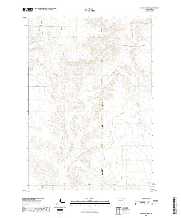
1973 Macs Corner SE
Hyde County, SD
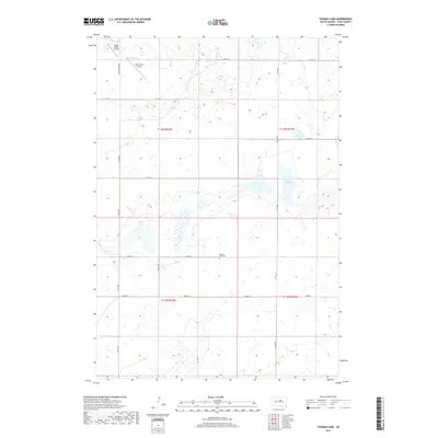
1978 Thomas Lake
Hyde County, SD
2012 Chapelle Lake
Hyde County, SD
2012 Chapelle Lake SE
Hyde County, SD
2012 Harrold NE
Hyde County, SD
2012 Highmore SE
Hyde County, SD
2012 Holabird
Hyde County, SD
2012 Lower Brule NE
Hyde County, SD
2012 Macs Corner
Hyde County, SD
2012 Macs Corner NE
Hyde County, SD
2012 Macs Corner NW
Hyde County, SD
2012 Macs Corner SE
Hyde County, SD
2012 Mitchell Lake
Hyde County, SD
2012 Rice Lake
Hyde County, SD
2012 Thomas Lake
Hyde County, SD
2015 Chapelle Lake
Hyde County, SD
2015 Chapelle Lake SE
Hyde County, SD
2015 Harrold NE
Hyde County, SD
2015 Highmore SE
Hyde County, SD
2015 Holabird
Hyde County, SD
2015 Lower Brule NE
Hyde County, SD
2015 Macs Corner
Hyde County, SD
2015 Macs Corner NE
Hyde County, SD
2015 Macs Corner NW
Hyde County, SD
2015 Macs Corner SE
Hyde County, SD
2015 Mitchell Lake
Hyde County, SD
2015 Rice Lake
Hyde County, SD
2015 Thomas Lake
Hyde County, SD
2017 Chapelle Lake
Hyde County, SD
2017 Chapelle Lake SE
Hyde County, SD
2017 Harrold NE
Hyde County, SD
2017 Highmore SE
Hyde County, SD
2017 Holabird
Hyde County, SD
2017 Lower Brule NE
Hyde County, SD
2017 Macs Corner
Hyde County, SD
2017 Macs Corner NE
Hyde County, SD
2017 Macs Corner NW
Hyde County, SD
2017 Macs Corner SE
Hyde County, SD
2017 Mitchell Lake
Hyde County, SD
2017 Rice Lake
Hyde County, SD
2017 Thomas Lake
Hyde County, SD
2021 Chapelle Lake
Hyde County, SD
2021 Chapelle Lake SE
Hyde County, SD
2021 Harrold NE
Hyde County, SD
2021 Highmore SE
Hyde County, SD
2021 Holabird
Hyde County, SD
2021 Lower Brule NE
Hyde County, SD
2021 Macs Corner
Hyde County, SD
2021 Macs Corner NE
Hyde County, SD
2021 Macs Corner NW
Hyde County, SD
2021 Macs Corner SE
Hyde County, SD
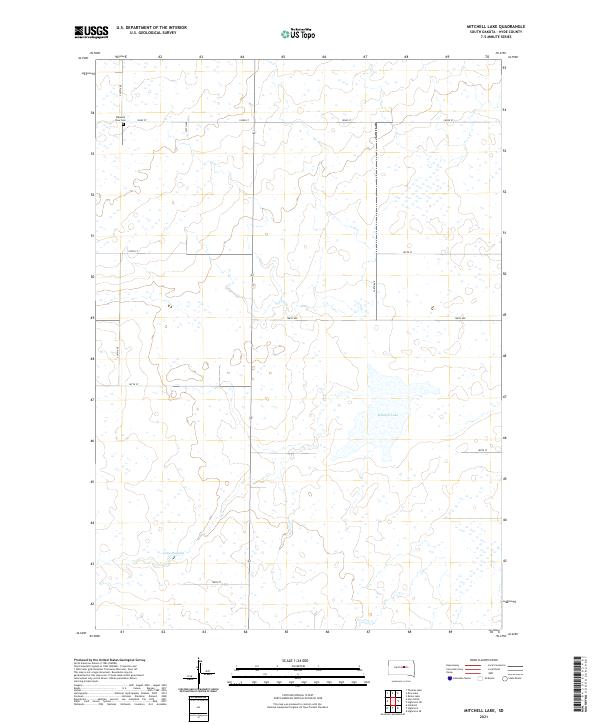
2021 Mitchell Lake
Hyde County, SD
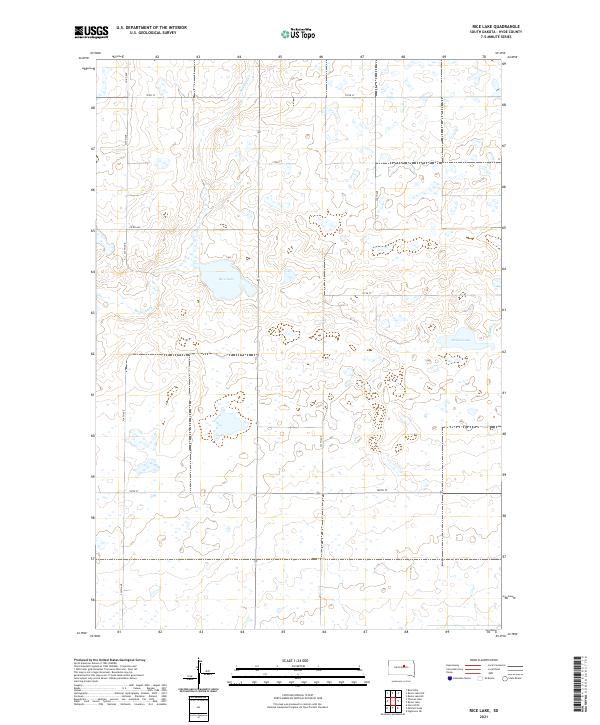
2021 Rice Lake
Hyde County, SD
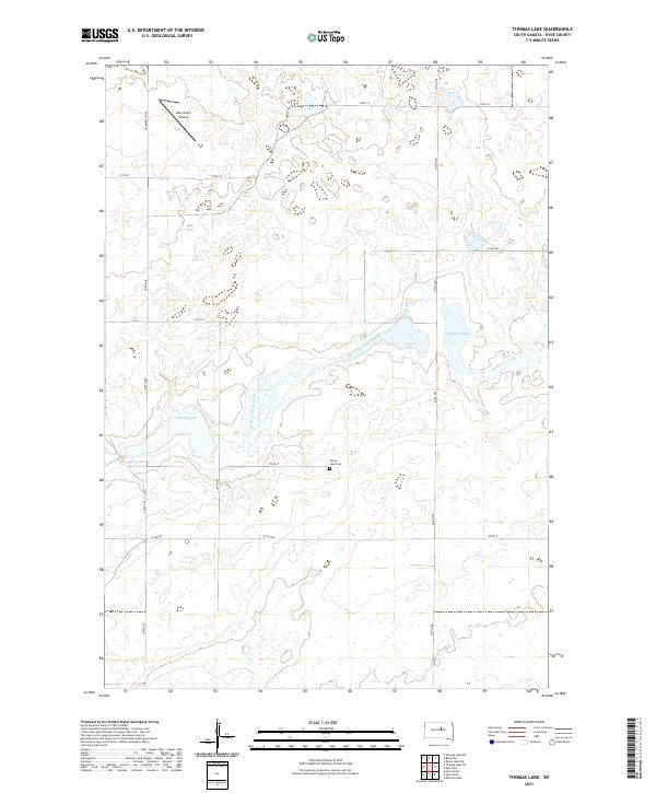
2021 Thomas Lake
Hyde County, SD