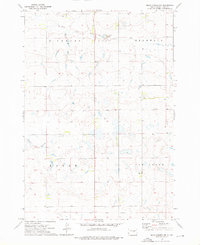
1973 Map of Macs Corner NW
USGS Topo · Published 1976About this map
The Old Indian Treaty Boundary slices across the southern portion of this landscape, marking a historical administrative division within Hyde County. This 1970s survey captures a rural prairie environment defined by the drainage basins of South Fork Medicine Knoll Creek in the north and Chapelle Creek in the center. The settlement of Van Order sits amid a network of township boundaries including Highmore, Bramhall, and Eagle. A notable detail of this map is the inclusion of fine dashed red lines, representing selected fence and field lines identified from 1973 aerial photography. These markers, along with the scattered wells and a Gravel Pit, provide an unusually specific look at the local land use and property boundaries during this era.
Find a feature on this map
10 named features on this map. Tap any name to fly to it.
Don’t see what you’re looking for? This feature index may not catch every label — zoom into the map to look around manually.
Map Details
Editions of this 1973 Macs Corner NW Map
This is the sole edition of this map. No revisions or reprints were ever made.
Other maps of this area

1950 · Highmore
USGS Topo · 1:24,000

1950 · Highmore SE
USGS Topo · 1:24,000

1953 · Huron
USGS Topo · 1:250,000

1954 · Huron
USGS Topo · 1:250,000

1968 · Holabird
USGS Topo · 1:24,000

1973 · Chapelle Lake SE
USGS Topo · 1:24,000

1973 · Macs Corner NE
USGS Topo · 1:24,000

1973 · Macs Corner SE
USGS Topo · 1:24,000

1973 · Chapelle Lake
USGS Topo · 1:24,000

1973 · Macs Corner
USGS Topo · 1:24,000