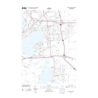
2013 Map of Madison East
USGS Topo · Published 2013About this map
Lake Monona and Lake Waubesa anchor this geographic study of the capital city's eastern expansion in the early 21st century. The Yahara River serves as a vital connector between these water bodies, flowing through the heart of the developed landscape. The established community of McFarland sits on the eastern shore of Lake Waubesa, while the city of Monona occupies the peninsula between the two larger lakes. Residential developments and recreational spaces like the Yahara Hills Golf Course are interspersed among a dense network of major transit arteries, including N Stoughton Rd and E Washington Ave. Small neighborhoods such as Elmside, Tonyawatha, and Ethelwyn Park reveal the localized settlement patterns that have filled the spaces between the water's edge and the surrounding agricultural hinterlands, represented by the courses of Nine Springs Cr and Door Cr.
Find a feature on this map
217 named features on this map. Tap any name to fly to it.
Don’t see what you’re looking for? This feature index may not catch every label — zoom into the map to look around manually.
Map Details
Editions of this 2013 Madison East Map
This is the sole edition of this map. No revisions or reprints were ever made.
Other maps of this area

1889 · Evansville
USGS Topo · 1:62,500

1890 · Madison
USGS Topo · 1:62,500

1890 · Sun Prairie
USGS Topo · 1:62,500

1890 · Stoughton
USGS Topo · 1:62,500

1892 · Madison
USGS Topo · 1:62,500

1894 · Evansville
USGS Topo · 1:62,500

1896 · Sun Prairie
USGS Topo · 1:62,500

1904 · Madison
USGS Topo · 1:62,500

1905 · Sun Prairie
USGS Topo · 1:62,500

1906 · Evansville
USGS Topo · 1:62,500