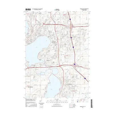
2016 Map of Madison East
USGS Topo · Published 2016About this map
Lake Monona and the Yahara River corridor anchor this 2016 survey of eastern Madison and its surrounding communities. The landscape is defined by the interconnected water system of the Four Lakes, with Lake Waubesa and Mud Lake dominating the southern half of the sheet. The urban expansion of Monona and McFarland is clearly visible, showing a high density of residential development and infrastructure that bridges the gaps between the major lakes.
Find a feature on this map
53 named features on this map. Tap any name to fly to it.
Don’t see what you’re looking for? This feature index may not catch every label — zoom into the map to look around manually.
Map Details
Editions of this 2016 Madison East Map
This is the sole edition of this map. No revisions or reprints were ever made.
Other maps of this area

1889 · Evansville
USGS Topo · 1:62,500

1890 · Madison
USGS Topo · 1:62,500

1890 · Sun Prairie
USGS Topo · 1:62,500

1890 · Stoughton
USGS Topo · 1:62,500

1892 · Madison
USGS Topo · 1:62,500

1894 · Evansville
USGS Topo · 1:62,500

1896 · Sun Prairie
USGS Topo · 1:62,500

1904 · Madison
USGS Topo · 1:62,500

1905 · Sun Prairie
USGS Topo · 1:62,500

1906 · Evansville
USGS Topo · 1:62,500