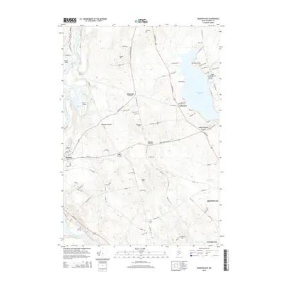
2014 Map of Madison East
USGS Topo · Published 2014About this map
Wesserunsett Lake dominates the eastern portion of this Somerset County landscape, its western shores defined by Black Point and Thompson Point. The surrounding terrain is a mosaic of family-named heights and crossroad settlements such as Blackwell Corner and Ellis Corner, reflecting a long history of local land ownership. To the west, the Kennebec River flows past Weston Island and Savage Island, framing the community of Madison.
Find a feature on this map
95 named features on this map. Tap any name to fly to it.
Don’t see what you’re looking for? This feature index may not catch every label — zoom into the map to look around manually.
Map Details
Editions of this 2014 Madison East Map
This is the sole edition of this map. No revisions or reprints were ever made.
Other maps of this area

1892 · Waterville
USGS Topo · 1:62,500

1894 · Norridgewock
USGS Topo · 1:62,500

1898 · Norridgewock
USGS Topo · 1:62,500

1904 · Anson
USGS Topo · 1:62,500

1913 · Skowhegan
USGS Topo · 1:62,500

1943 · Norridgewock
USGS Topo · 1:62,500

1943 · Waterville
USGS Topo · 1:62,500

1948 · Bangor
USGS Topo · 1:250,000

1955 · Anson
USGS Topo · 1:62,500

1955 · Skowhegan
USGS Topo · 1:62,500