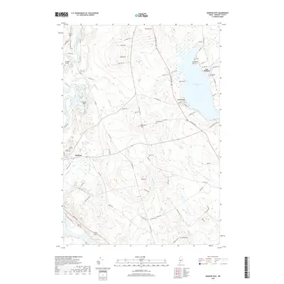
2018 Map of Madison East
USGS Topo · Published 2018About this map
The Kennebec River flows along the western edge of this Somerset County landscape, framing a region of high hills and scattered cemeteries. The terrain rises sharply from the riverbanks toward peaks like Thurston Hill and Eames Hill, while the eastern portion of the quadrangle is dominated by the expansive Wesserunsett Lake. In the northern waters, Thompson Point and Black Point reach into the lake near the settlement of East Madison.
Find a feature on this map
79 named features on this map. Tap any name to fly to it.
Don’t see what you’re looking for? This feature index may not catch every label — zoom into the map to look around manually.
Map Details
Editions of this 2018 Madison East Map
This is the sole edition of this map. No revisions or reprints were ever made.
Other maps of this area

1892 · Waterville
USGS Topo · 1:62,500

1894 · Norridgewock
USGS Topo · 1:62,500

1898 · Norridgewock
USGS Topo · 1:62,500

1904 · Anson
USGS Topo · 1:62,500

1913 · Skowhegan
USGS Topo · 1:62,500

1943 · Norridgewock
USGS Topo · 1:62,500

1943 · Waterville
USGS Topo · 1:62,500

1948 · Bangor
USGS Topo · 1:250,000

1955 · Anson
USGS Topo · 1:62,500

1955 · Skowhegan
USGS Topo · 1:62,500