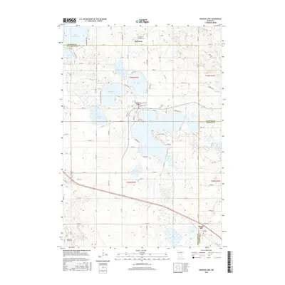
2016 Map of Madison Lake
USGS Topo · Published 2016About this map
Madison Lake serves as the central hub of this water-rich landscape, where the borders of Blue Earth, Le Sueur, and Waseca counties meet. The area is defined by a dense cluster of glacial lakes and wetlands, including Lake Washington, Ballantyne Lake, and the smaller Duck Lake. The settlement of Marysburg sits in the north, anchored by the Church of the Immaculate Conception Cem, while the community of Smiths Mill occupies the southeast corner near the Smith's Mill Cem.
Find a feature on this map
110 named features on this map. Tap any name to fly to it.
Don’t see what you’re looking for? This feature index may not catch every label — zoom into the map to look around manually.
Map Details
Editions of this 2016 Madison Lake Map
This is the sole edition of this map. No revisions or reprints were ever made.
Other maps of this area

1950 · Mankato East
USGS Topo · 1:62,500

1951 · Mankato East
USGS Topo · 1:62,500

1953 · Saint Paul
USGS Topo · 1:250,000

1959 · Saint Paul
USGS Topo · 1:250,000

1965 · Cleveland
USGS Topo · 1:24,000
1965 · St Peter
USGS Topo · 1:24,000

1966 · Janesville
USGS Topo · 1:24,000

1966 · Cordova
USGS Topo · 1:24,000

1966 · Elysian
USGS Topo · 1:24,000
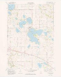
1974 · Madison Lake
USGS Topo · 1:24,000