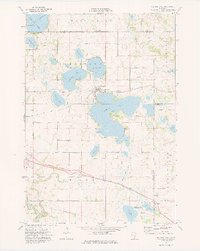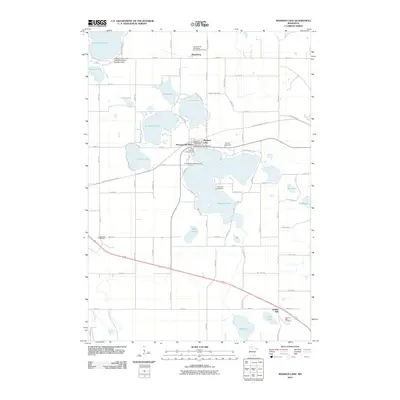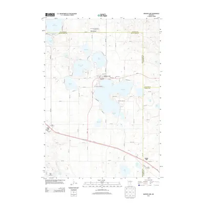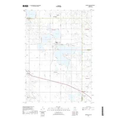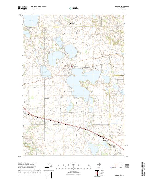
2022 Map of Madison Lake
USGS Topo · Published 2022About this map
Madison Lake serves as a central hub for this portion of southern Minnesota, where the borders of Blue Earth, Le Sueur, and Waseca Counties meet. The landscape is defined by its glacial heritage, featuring a dense network of water bodies including Lake Washington, Ballantyne Lake, and Duck Lake. This pattern of lakes influenced the early placement of community centers such as Marysburg and Smiths Mill, which developed around the natural topography and drainage of the Le Sueur River.
Find a feature on this map
29 named features on this map. Tap any name to fly to it.
Don’t see what you’re looking for? This feature index may not catch every label — zoom into the map to look around manually.
Map Details
Editions of this 2022 Madison Lake Map
This is the sole edition of this map. No revisions or reprints were ever made.
Historical Maps of Eagle Lake Through Time
6 maps found