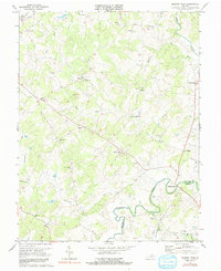
1971 Map of Madison Mills
USGS Topo · Published 1991About this map
The Rapidan River winds along the boundary between Madison Co and Orange Co, anchoring a rural landscape of small settlements and family-named landmarks. The village of Madison Mills sits at a strategic crossing, surrounded by agricultural tracts and early processing sites like Twymans Mill. This 1971 survey shows a community tied to its spiritual and educational centers, including Mt Zion Ch, Good Hope Ch, and the Grymes Sch.
Find a feature on this map
39 named features on this map. Tap any name to fly to it.
Don’t see what you’re looking for? This feature index may not catch every label — zoom into the map to look around manually.
Map Details
Editions of this 1971 Madison Mills Map
2 editions found
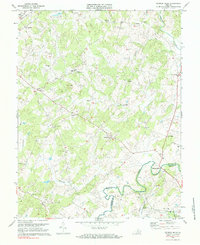
Other maps of this area

1892 · Gordonsville
USGS Topo · 1:125,000

1930 · Madison
USGS Topo · 1:48,000

1933 · Madison
USGS Topo · 1:62,500

1935 · Charlottesville
USGS Topo · 1:62,500

1939 · Charlottesville
USGS Topo · 1:62,500

1949 · Charlottesville
USGS Topo · 1:250,000

1949 · Charlottesville
USGS Topo · 1:62,500

1956 · Charlottesville
USGS Topo · 1:250,000

1961 · Gordonsville
USGS Topo · 1:62,500

1961 · Rapidan
USGS Topo · 1:62,500