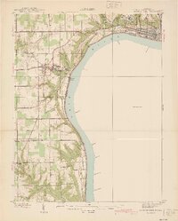
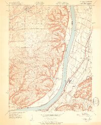
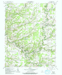
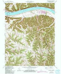
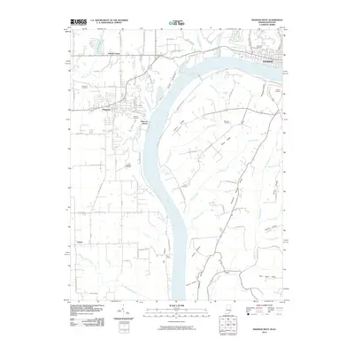
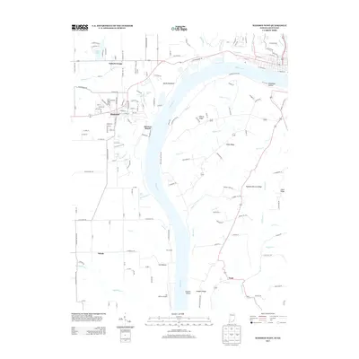
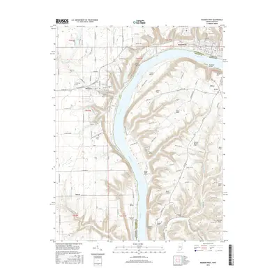
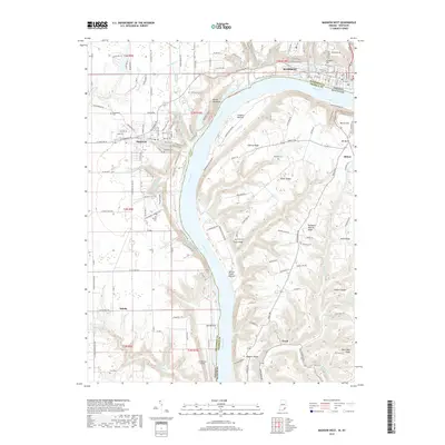
1939 Map of Madison West
USGS Topo · Published 1939About this map
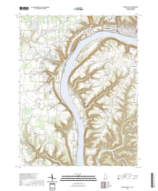
Madison and the Hanover bluff dominate the landscape along the Ohio River in this late 1930s survey of southern Indiana. The river bend is characterized by steep limestone escarpments and dramatic waterfalls, including Clifty Falls within the eponymous Clifty Falls State Park, alongside numerous smaller drops like Chain Mill Falls and Fremont Falls. The upland area is anchored by Hanover College and the large grounds of the State Hospital near the river’s edge. Local life is documented through scattered rural institutions such as the Antioch Grange, the County Infirmary, and historic burying grounds including Springdale Cem and Old Bethel Cem. This record of Jefferson Co illustrates a transition from the dense urban grid of Madison to the fertile bottomlands of Lee Bottom and the rugged creek valleys that carve through the river hills.
Find a feature on this map
52 named features on this map. Tap any name to fly to it.
Don’t see what you’re looking for? This feature index may not catch every label — zoom into the map to look around manually.
Map Details
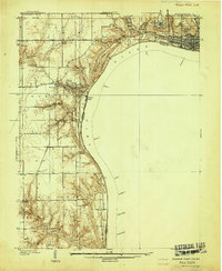
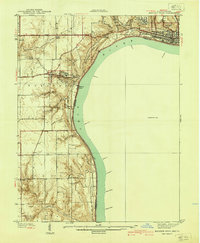
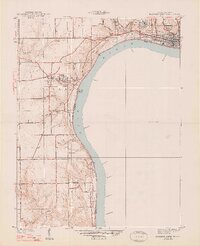
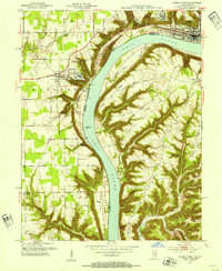
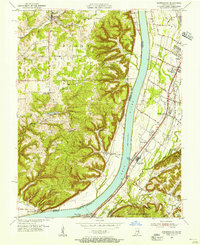
Editions of this 1939 Madison West Map
3 editions found
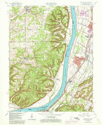
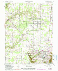
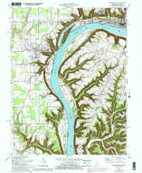
Historical Maps of Madison Through Time
32 maps found
1939 Madison West
Jefferson County, IN
1948 Madison West
Jefferson County, IN
1951 Kosmosdale
Jefferson County, IN
1953 Madison West
Jefferson County, IN
1955 Kosmosdale
Jefferson County, IN
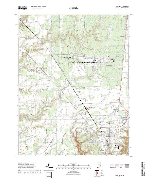
1956 Clifty Falls
Jefferson County, IN
1956 Volga
Jefferson County, IN
1960 Kosmosdale
Jefferson County, IN
1964 Clifty Falls
Jefferson County, IN
1964 Madison West
Jefferson County, IN
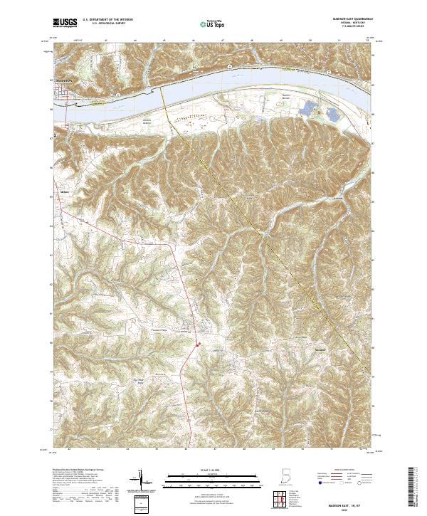
1971 Madison East
Jefferson County, IN
1992 Clifty Falls
Jefferson County, IN
2010 Clifty Falls
Jefferson County, IN
2010 Madison East
Jefferson County, IN
2010 Madison West
Jefferson County, IN
2010 Volga
Jefferson County, IN
2013 Clifty Falls
Jefferson County, IN
2013 Madison East
Jefferson County, IN
2013 Madison West
Jefferson County, IN
2013 Volga
Jefferson County, IN
2016 Clifty Falls
Jefferson County, IN
2016 Madison East
Jefferson County, IN
2016 Madison West
Jefferson County, IN
2016 Volga
Jefferson County, IN
2019 Clifty Falls
Jefferson County, IN
2019 Madison East
Jefferson County, IN
2019 Madison West
Jefferson County, IN
2019 Volga
Jefferson County, IN
2022 Clifty Falls
Jefferson County, IN
2022 Madison East
Jefferson County, IN
2022 Madison West
Jefferson County, IN
2022 Volga
Jefferson County, IN