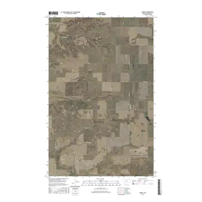
2017 Map of Madoc
USGS Topo · Published 2017About this map
Madoc sits at the center of this rural Daniels County landscape, where the northern Great Plains are shaped by a series of drainage coulees. The terrain is defined by the winding paths of Shannon Coulee in the north and Manternach Coulee further south, features that dictate the orientation of the local road network. The region is largely organized around a rigid section-line grid, though many routes follow the topography of the land, such as Shannon Creek Rd and Spring Valley Rd. This survey preserves the exact placement of local family-named thoroughfares like N Barstad Rd, Frenchy's Rd, and W Rowe Rd, providing a clear record of land use and connectivity in this corner of Montana during the late 2010s.
Find a feature on this map
18 named features on this map. Tap any name to fly to it.
Don’t see what you’re looking for? This feature index may not catch every label — zoom into the map to look around manually.
Map Details
Editions of this 2017 Madoc Map
This is the sole edition of this map. No revisions or reprints were ever made.
Other maps of this area

1954 · Wolf Point
USGS Topo · 1:250,000

1958 · Wolf Point
USGS Topo · 1:250,000

1973 · Madoc
USGS Topo · 1:24,000

1973 · Flaxville
USGS Topo · 1:24,000

1973 · Whitetail
USGS Topo · 1:24,000

1973 · Line Coulee
USGS Topo · 1:24,000

1973 · Scobey
USGS Topo · 1:24,000

1973 · Pleasant Prairie NW
USGS Topo · 1:24,000

1973 · Scobey NW
USGS Topo · 1:24,000

1973 · Cabarett Coulee
USGS Topo · 1:24,000