
1973 Map of Whitetail
USGS Topo · Published 1976About this map
The international boundary between Saskatchewan and Montana defines the northern edge of this northern Great Plains landscape. At the center of the local transport network sits Whitetail, a small settlement serving as the terminus for the Soo Line railroad. This location functions as a critical cross-border point, anchored by the Canadian Customs Whitetail Port of Entry and numerous Storage Bins that suggest a rural economy centered on grain and agricultural export.
Find a feature on this map
20 named features on this map. Tap any name to fly to it.
Don’t see what you’re looking for? This feature index may not catch every label — zoom into the map to look around manually.
Map Details
Editions of this 1973 Whitetail Map
This is the sole edition of this map. No revisions or reprints were ever made.
Other maps of this area

1954 · Wolf Point
USGS Topo · 1:250,000

1958 · Wolf Point
USGS Topo · 1:250,000

1973 · Madoc
USGS Topo · 1:24,000

1973 · Flaxville
USGS Topo · 1:24,000

1973 · Navajo
USGS Topo · 1:24,000

1973 · Goodale Coulee
USGS Topo · 1:24,000

1973 · Si Merrell Slough
USGS Topo · 1:24,000

1983 · Scobey
USGS Topo · 1:100,000
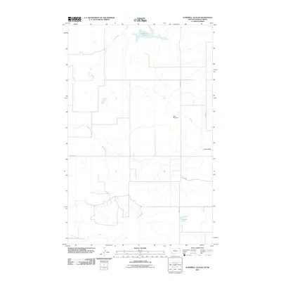
2011 · Si Merrell Slough
USGS Topo · 1:24,000
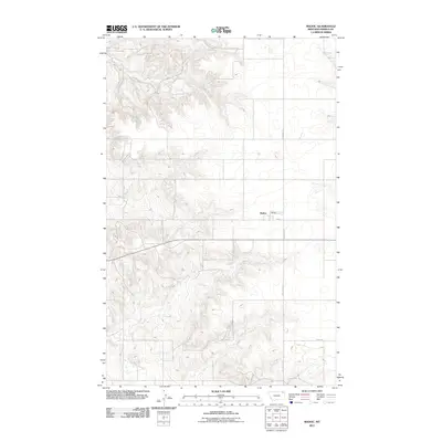
2011 · Madoc
USGS Topo · 1:24,000