
1973 Map of Si Merrell Slough
USGS Topo · Published 1976About this map
Outlet Marsh Waterfowl Production Area dominates the northern landscape of this borderland survey, marking a vital wetland habitat along the international boundary between the United States and Canada. The geography is defined by a network of seasonal water bodies and drainage systems, including Merrell Slough, Willard Slough, and Outlet Creek, which suggest a landscape governed by the ebb and flow of northern plains hydrology. To the south, the topography shifts toward the prominent elevation of Square Butte, providing a distinct navigational landmark in an otherwise prairie environment.
Find a feature on this map
16 named features on this map. Tap any name to fly to it.
Don’t see what you’re looking for? This feature index may not catch every label — zoom into the map to look around manually.
Map Details
Editions of this 1973 Si Merrell Slough Map
This is the sole edition of this map. No revisions or reprints were ever made.
Other maps of this area

1954 · Wolf Point
USGS Topo · 1:250,000

1958 · Wolf Point
USGS Topo · 1:250,000

1973 · Madoc
USGS Topo · 1:24,000

1973 · Flaxville
USGS Topo · 1:24,000

1973 · Whitetail
USGS Topo · 1:24,000

1973 · Scobey
USGS Topo · 1:24,000

1973 · Scobey NW
USGS Topo · 1:24,000

1983 · Scobey
USGS Topo · 1:100,000
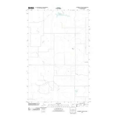
2011 · Si Merrell Slough
USGS Topo · 1:24,000
2011 · Madoc
USGS Topo · 1:24,000