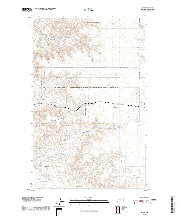
2024 Map of Madoc
USGS Topo · Published 2024About this map
Madoc sits within a high-plains landscape defined by the drainage patterns of northern Montana. The terrain is deeply incised by Shannon Coulee to the north and Manternach Coulee further south, revealing a network of seasonal watercourses and drainage basins that characterize this portion of Daniels County. The map documents a sparse but deliberate network of section-line roads, including Shannen Creek Rd, Back Rd, and Spring Valley Rd, which provide access to the vast agricultural and grazing tracts. This layout reflects the enduring influence of the Public Land Survey System, with township boundaries for t36n r48e and t36n r49e clearly delineating the rural grid. The concentration of structures and crossroads near Madoc Rd highlights the central role of this namesake settlement in an otherwise open and windswept agricultural prairie.
Find a feature on this map
17 named features on this map. Tap any name to fly to it.
Don’t see what you’re looking for? This feature index may not catch every label — zoom into the map to look around manually.
Map Details
Editions of this 2024 Madoc Map
This is the sole edition of this map. No revisions or reprints were ever made.
Other maps of this area

1954 · Wolf Point
USGS Topo · 1:250,000

1958 · Wolf Point
USGS Topo · 1:250,000

1973 · Madoc
USGS Topo · 1:24,000

1973 · Flaxville
USGS Topo · 1:24,000

1973 · Whitetail
USGS Topo · 1:24,000

1973 · Line Coulee
USGS Topo · 1:24,000

1973 · Scobey
USGS Topo · 1:24,000

1973 · Pleasant Prairie NW
USGS Topo · 1:24,000

1973 · Scobey NW
USGS Topo · 1:24,000

1973 · Cabarett Coulee
USGS Topo · 1:24,000