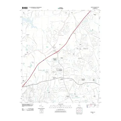
2011 Map of Madras
USGS Topo · Published 2011About this map
McCollum Lookout Tower stands as a sentinel over the landscape of northern Coweta County during this 2011 survey, a period marked by suburban expansion alongside industrial and agricultural traditions. The area between Madras and McCollum is characterized by a mix of residential subdivisions like Springwater Plantation Subdivision and heavy industry at the Madras Quarry. This map is particularly valuable for genealogical research, documenting numerous family and community burial grounds including New Macedonia Cemetery, Cranford Cemetery, and the Powers-Taliaferro-Weatherly Cemetery. The hydrological network is well-defined by Alexander Creek and Shoal Creek, while local aviation history is represented by Odom Airport and Rolling Meadows Airfield. The settlement pattern shows a transition from historical crossroads like Vineyard Crossroads to modern developments such as Cannongate Acres and Palmetto Pines.
Find a feature on this map
121 named features on this map. Tap any name to fly to it.
Don’t see what you’re looking for? This feature index may not catch every label — zoom into the map to look around manually.
Map Details
Editions of this 2011 Madras Map
This is the sole edition of this map. No revisions or reprints were ever made.
Other maps of this area

1891 · Marietta
USGS Topo · 1:125,000

1895 · Marietta
USGS Topo · 1:125,000

1897 · Marietta
USGS Topo · 1:125,000

1901 · Marietta
USGS Topo · 1:125,000

1953 · Atlanta
USGS Topo · 1:250,000

1954 · Palmetto
USGS Topo · 1:24,000

1954 · Fairburn
USGS Topo · 1:24,000

1957 · Atlanta
USGS Topo · 1:250,000

1958 · Rico
USGS Topo · 1:24,000

1958 · Atlanta
USGS Topo · 1:250,000