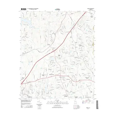
2014 Map of Madras
USGS Topo · Published 2014About this map
The southern outskirts of Palmetto Pines and the growing residential landscape of northern Newnan define this portion of Coweta County. The area is marked by a complex network of residential developments such as Eastwood Estates, Whispering Pines, and Cannongate Acres, which contrast with the industrial presence of the Coweta Industrial Park. Numerous family and community burial grounds, including the Mt Gilead Cem and New Macedonia Cem, are scattered across the landscape, serving as vital markers for genealogists tracing local lineage.
Find a feature on this map
290 named features on this map. Tap any name to fly to it.
Don’t see what you’re looking for? This feature index may not catch every label — zoom into the map to look around manually.
Map Details
Editions of this 2014 Madras Map
This is the sole edition of this map. No revisions or reprints were ever made.
Other maps of this area

1891 · Marietta
USGS Topo · 1:125,000

1895 · Marietta
USGS Topo · 1:125,000

1897 · Marietta
USGS Topo · 1:125,000

1901 · Marietta
USGS Topo · 1:125,000

1953 · Atlanta
USGS Topo · 1:250,000

1954 · Palmetto
USGS Topo · 1:24,000

1954 · Fairburn
USGS Topo · 1:24,000

1957 · Atlanta
USGS Topo · 1:250,000

1958 · Rico
USGS Topo · 1:24,000

1958 · Atlanta
USGS Topo · 1:250,000