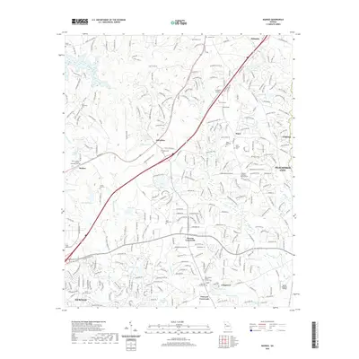
2020 Map of Madras
USGS Topo · Published 2020About this map
Thomas Crossroads and Vineyard Crossroads anchor the central portion of this contemporary Coweta County landscape, where modern residential development has integrated with historic family burial grounds and agricultural landmarks. The map documents an area defined by its small water bodies, including Lake Camlon, Lake Amlajack, and the clustered Nelms Lakes, alongside the drainage of White Oak Creek and Alexander Creek. Genealogists will find a high density of named family and church cemeteries such as Mount Gilead United Methodist Cem, Arnold - Sims Cem, and Jane Posey Cem preserved amid the growing road networks of McCollum and Madras. The transition from rural character to suburban expansion is evident as the terrain rises toward Raymond Hill and the outskirts of Peachtree City and Newnan.
Find a feature on this map
289 named features on this map. Tap any name to fly to it.
Don’t see what you’re looking for? This feature index may not catch every label — zoom into the map to look around manually.
Map Details
Editions of this 2020 Madras Map
This is the sole edition of this map. No revisions or reprints were ever made.
Other maps of this area

1891 · Marietta
USGS Topo · 1:125,000

1895 · Marietta
USGS Topo · 1:125,000

1897 · Marietta
USGS Topo · 1:125,000

1901 · Marietta
USGS Topo · 1:125,000

1953 · Atlanta
USGS Topo · 1:250,000

1954 · Palmetto
USGS Topo · 1:24,000

1954 · Fairburn
USGS Topo · 1:24,000

1957 · Atlanta
USGS Topo · 1:250,000

1958 · Rico
USGS Topo · 1:24,000

1958 · Atlanta
USGS Topo · 1:250,000