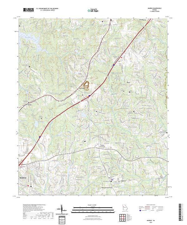
2024 Map of Madras
USGS Topo · Published 2024About this map
Newnan and Palmetto anchor the north and south ends of this landscape, which is increasingly shaped by modern infrastructure yet remains dense with its ancestral roots. The area is defined by a high concentration of family and community burial grounds, from the Arnold - Sims Cem near Madras to the Jane Posey Cem further east. These landmarks, along with many rural congregations like Ebenezer Baptist Cem and Cokes Chapel Cem, offer a rich record of the local families who settled between the creek valleys of White Oak Creek and Shoal Creek.
Find a feature on this map
293 named features on this map. Tap any name to fly to it.
Don’t see what you’re looking for? This feature index may not catch every label — zoom into the map to look around manually.
Map Details
Editions of this 2024 Madras Map
This is the sole edition of this map. No revisions or reprints were ever made.
Other maps of this area

1891 · Marietta
USGS Topo · 1:125,000

1895 · Marietta
USGS Topo · 1:125,000

1897 · Marietta
USGS Topo · 1:125,000

1901 · Marietta
USGS Topo · 1:125,000

1953 · Atlanta
USGS Topo · 1:250,000

1954 · Palmetto
USGS Topo · 1:24,000

1954 · Fairburn
USGS Topo · 1:24,000

1957 · Atlanta
USGS Topo · 1:250,000

1958 · Rico
USGS Topo · 1:24,000

1958 · Atlanta
USGS Topo · 1:250,000