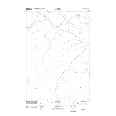
2011 Map of Madrid
USGS Topo · Published 2011About this map
The Sandy River and its major tributaries define the settlement patterns of this Franklin County township, where the village of Madrid sits at the confluence with Saddleback Stream. This 2011 survey documents the interior highlands of western Maine, recording small historic enclaves like the Masterman Neighborhood and the rail-named Madrid Junction near Toothaker Pond. The landscape is dominated by significant elevations including Blueberry Mountain and Hurricane Mountain, which rise above a network of waterways such as Cottle Brook and the South Branch Sandy River. For those researching local families, the Madrid Cemetery remains a key landmark north of River Rd. The map illustrates a transitional rural economy where traditional names like Beech Hill and Bear Hill persist alongside modern access routes, showing how the river valleys continue to dictate the placement of roads and homesteads in this corner of the state.
Find a feature on this map
53 named features on this map. Tap any name to fly to it.
Don’t see what you’re looking for? This feature index may not catch every label — zoom into the map to look around manually.
Map Details
Editions of this 2011 Madrid Map
This is the sole edition of this map. No revisions or reprints were ever made.
Other maps of this area

1926 · Dixfield
USGS Topo · 1:62,500

1927 · Rumford
USGS Topo · 1:48,000

1929 · Phillips
USGS Topo · 1:48,000

1929 · Dixfield
USGS Topo · 1:62,500

1930 · Rumford
USGS Topo · 1:62,500

1932 · Phillips
USGS Topo · 1:62,500

1933 · Rangeley
USGS Topo · 1:48,000

1939 · Rangeley
USGS Topo · 1:62,500

1949 · Rangeley
USGS Topo · 1:62,500

1950 · Lewiston
USGS Topo · 1:250,000