Loading...
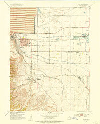
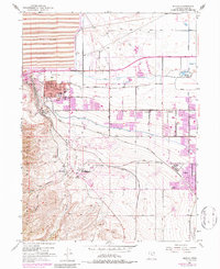
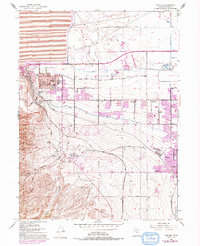
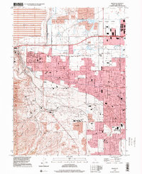
Loading map...1952 Map of Magna
USGS Topo · Published 1954About this map
Industrial expansion and irrigation networks define this landscape at the base of the Oquirrh Mountains. The town of Magna serves as a hub for the massive Magna Mill and its associated Tailings Pond, while the Utah Copper RR and Bingham and Garfield RR facilitate the movement of ore. To the east, the agricultural character of Hunter is maintained by an intricate system of waterways, including the North Jordan Canal and Riter Canal.
Find a feature on this map
38 named features on this map. Tap any name to fly to it.
Don’t see what you’re looking for? This feature index may not catch every label — zoom into the map to look around manually.
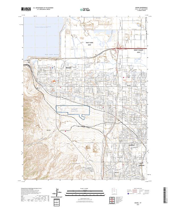
Map Details
Date Portrayed1952
Date Published1954
PublisherU.S. Geological Survey
Map TypeTopographic
Scale1:24000
Physical Dimensions21.9 x 27.1 inches
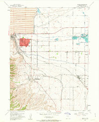
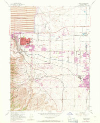
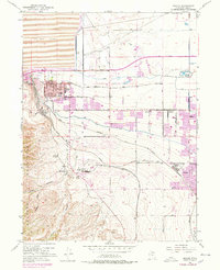
Editions of this 1952 Magna Map
6 editions found
Historical Maps of Creekview Through Time
3 maps found
Featured Locations
Source Details
SourceU.S. Geological Survey
CopyrightPublic Domain