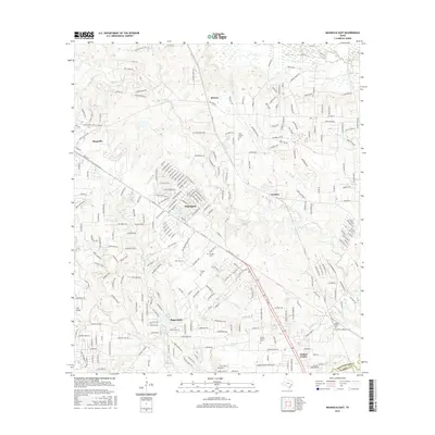
2016 Map of Magnolia East
USGS Topo · Published 2016About this map
Magnolia and Pinehurst anchor this portion of Southeast Texas, where the suburban growth of the twenty-first century meets a landscape defined by creeks and small private lakes. The boundary between Montgomery Co and Harris Co cuts across the southern portion of the sheet near Decker Prairie, a community marked by its historic Decker Prairie Cem. Small water bodies like Lake Apache, Hall Lake, and Circle Lake are scattered throughout the residential developments, connected by the drainage of Mill Cr and Decker Br. Genealogists will find several local burial sites recorded, including Tillis Prairie Cem and Goodson Cem. The road network is dominated by established routes like FM 1488 Rd and FM 1774, which link the smaller settlements of Mostyn and Stagecoach to the expanding regional infrastructure.
Find a feature on this map
32 named features on this map. Tap any name to fly to it.
Don’t see what you’re looking for? This feature index may not catch every label — zoom into the map to look around manually.
Map Details
Editions of this 2016 Magnolia East Map
This is the sole edition of this map. No revisions or reprints were ever made.
Other maps of this area

1916 · Rose Hill
USGS Topo · 1:24,000

1916 · Louetta
USGS Topo · 1:24,000

1916 · Hockley
USGS Topo · 1:24,000

1920 · Hockley
USGS Topo · 1:31,680

1920 · Rose Hill
USGS Topo · 1:31,680

1920 · Louetta
USGS Topo · 1:31,680

1954 · Beaumont
USGS Topo · 1:250,000

1957 · Beaumont
USGS Topo · 1:250,000

1958 · Cowl Spur
USGS Topo · 1:24,000

1962 · Keenan
USGS Topo · 1:24,000