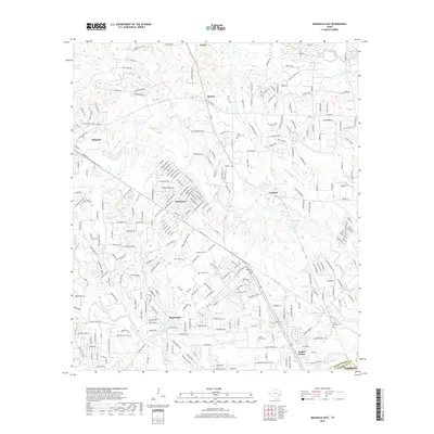
2019 Map of Magnolia East
USGS Topo · Published 2019About this map
Decker Prairie and the surrounding woodlands of south-central Texas are documented here as the landscape balances its rural roots with modern development. The map follows the boundary between Montgomery Co and Harris Co, where a complex network of residential roads like Mill Creek Rd and Rolling Hills Dr now winds through the drainage basins of Mill Creek and Decker Br. Genealogists will find significant value in the preservation of several local burial grounds, including the Tillis Prairie Cem, Goodson Cem, and Corgey Cem, which remain as markers of the area's earlier settlement history. Small residential enclaves and water bodies such as Lake Apache and Circle Lake define the character of towns like Pinehurst and Stagecoach, showing how the timbered creek bottoms have been adapted for suburban living while maintaining their natural drainage patterns.
Find a feature on this map
281 named features on this map. Tap any name to fly to it.
Don’t see what you’re looking for? This feature index may not catch every label — zoom into the map to look around manually.
Map Details
Editions of this 2019 Magnolia East Map
This is the sole edition of this map. No revisions or reprints were ever made.
Other maps of this area

1916 · Rose Hill
USGS Topo · 1:24,000

1916 · Louetta
USGS Topo · 1:24,000

1916 · Hockley
USGS Topo · 1:24,000

1920 · Hockley
USGS Topo · 1:31,680

1920 · Rose Hill
USGS Topo · 1:31,680

1920 · Louetta
USGS Topo · 1:31,680

1954 · Beaumont
USGS Topo · 1:250,000

1957 · Beaumont
USGS Topo · 1:250,000

1958 · Cowl Spur
USGS Topo · 1:24,000

1962 · Keenan
USGS Topo · 1:24,000