Loading...
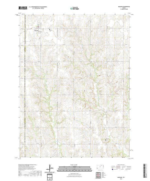
Loading map...2022 Map of Mahaska
USGS Topo · Published 2022About this map
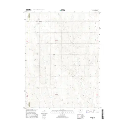
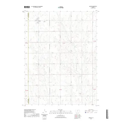
The small town of Mahaska sits at the northern edge of the Kansas border, defined by its traditional grid of streets including Highway Ave and N School Ave. This rural landscape in northern Washington County is shaped by the drainages of Bowman Cr and Myer Cr, which carve through the agricultural uplands. The distribution of homesteads remains tied to a regular section-line road network, where routes like Concord Rd and Deer Rd provide access to the surrounding farmsteads.
Find a feature on this map
41 named features on this map. Tap any name to fly to it.
Don’t see what you’re looking for? This feature index may not catch every label — zoom into the map to look around manually.
Map Details
Date Portrayed2022
Date Published2022
PublisherU.S. Geological Survey
Map TypeTopographic
Scale1:24,000
Physical Dimensions24 x 29 inches
Editions of this 2022 Mahaska Map
This is the sole edition of this map. No revisions or reprints were ever made.
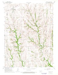
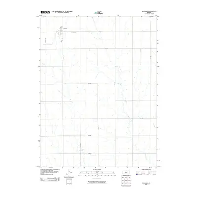
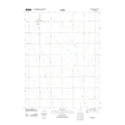
Historical Maps of Mahaska Through Time
6 maps found
Featured Locations
Source Details
SourceU.S. Geological Survey
CopyrightPublic Domain