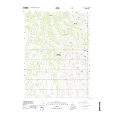
2020 Map of Mahogany Butte
USGS Topo · Published 2020About this map
Sawtooth National Forest dominates this section of Cassia County, where high-elevation landmarks like Mahogany Butte and Trout Creek Mtn define a landscape shaped by water and elevation. The terrain is marked by numerous springs such as Gravel Spring, Red Bluff Spring, and Trout Spring, which feed complex drainages including Trout Creek and Humphrey Cr. This high-country environment is accessible via specialized routes like the Red Bluff Jeep Trail and the Swanty-Thoroughbred Cutoff, highlighting the area's importance for range management and backcountry navigation. High points such as Swanty Peak, Dads Hump, and the twin peaks of South Tit and Pine Tit provide orientation for those traversing the high basins. Notable water features like Phantom Falls and remote locations such as Joes Basin illustrate the varied hydrography found within the national forest boundaries during this era of conservation.
Find a feature on this map
80 named features on this map. Tap any name to fly to it.
Don’t see what you’re looking for? This feature index may not catch every label — zoom into the map to look around manually.
Map Details
Editions of this 2020 Mahogany Butte Map
This is the sole edition of this map. No revisions or reprints were ever made.
Other maps of this area

1955 · Twin Falls
USGS Topo · 1:250,000

1955 · Wells
USGS Topo · 1:250,000

1958 · Wells
USGS Topo · 1:250,000

1958 · Twin Falls
USGS Topo · 1:250,000

1961 · Wells
USGS Topo · 1:250,000

1961 · Gollaher Mountain
USGS Topo · 1:62,500

1961 · Goose Creek
USGS Topo · 1:62,500

1977 · Timber Butte
USGS Topo · 1:24,000

1977 · Mahogany Butte
USGS Topo · 1:24,000
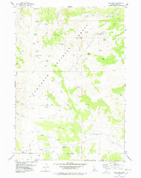
1977 · Ibex Peak
USGS Topo · 1:24,000