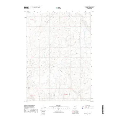
2017 Map of Mahogany Butte
USGS Topo · Published 2017About this map
Mahogany Butte rises over a high-desert drainage system in Washakie County, where the Nowood River meanders through a landscape defined by seasonal watercourses and remote ranch access. The map captures a high-plateau environment where several significant tributaries, including Box Elder Cr, Redbank Cr, and Garden Cr, carve through the terrain. A notable human element in this arid stretch is the Need Water Reservoir in the northwest, a critical resource for local land management.
Find a feature on this map
26 named features on this map. Tap any name to fly to it.
Don’t see what you’re looking for? This feature index may not catch every label — zoom into the map to look around manually.
Map Details
Editions of this 2017 Mahogany Butte Map
This is the sole edition of this map. No revisions or reprints were ever made.
Other maps of this area

1955 · Arminto
USGS Topo · 1:250,000

1958 · Arminto
USGS Topo · 1:250,000

1962 · Arminto
USGS Topo · 1:250,000

1966 · Big Trails
USGS Topo · 1:24,000
1966 · Tallon Spring
USGS Topo · 1:24,000

1966 · Indian Creek
USGS Topo · 1:24,000

1967 · Mahogany Butte
USGS Topo · 1:24,000
1967 · Cornell Gulch
USGS Topo · 1:24,000

1967 · Horse Butte
USGS Topo · 1:24,000
1967 · Lightning Ridge
USGS Topo · 1:24,000