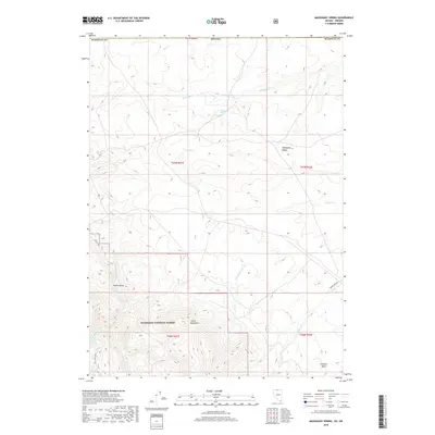
2018 Map of Mahogany Spring
USGS Topo · Published 2018About this map
Mahogany Spring and Rock Spring serve as critical water points in this arid stretch of the High Desert along the Oregon-Nevada border. The landscape is defined by the stark transition between the northern reaches of the Humboldt National Forest and the vast Owyhee Desert to the southeast. Topographic detail reveals the steep relief of the Calico Mountains and the prominent Mahogany Ridge, which together channel seasonal drainage through Foster Draw and various creeks toward the Quinn River.
Find a feature on this map
24 named features on this map. Tap any name to fly to it.
Don’t see what you’re looking for? This feature index may not catch every label — zoom into the map to look around manually.
Map Details
Editions of this 2018 Mahogany Spring Map
This is the sole edition of this map. No revisions or reprints were ever made.
Other maps of this area

1882 · Paradise
USGS Topo · 1:250,000

1893 · Paradise
USGS Topo · 1:250,000

1955 · McDermitt
USGS Topo · 1:250,000

1955 · Jordan Valley
USGS Topo · 1:250,000

1957 · Jordan Valley
USGS Topo · 1:250,000

1958 · Jordan Valley
USGS Topo · 1:250,000

1959 · McDermitt
USGS Topo · 1:250,000

1980 · Odell Mountain
USGS Topo · 1:24,000

1980 · Calico Butte
USGS Topo · 1:24,000

1980 · Capitol Peak
USGS Topo · 1:24,000