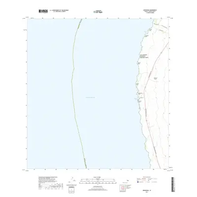
2017 Map of Mahukona
USGS Topo · Published 2017About this map
Māhukona sits on the western shore of the Island of Hawai‘i along a coastline defined by jagged volcanic points and small inlets. The settlement is centered near Māhukona Harbor, a coastal entry point that served the region's early transportation needs before modern highway development. This 2017 survey shows the juxtaposition of modern infrastructure with cultural preservation, specifically the Ala Kahakai National Historic Trail which winds along the bluff edges passing Hā‘ena Point and Makaohule Point.
Find a feature on this map
19 named features on this map. Tap any name to fly to it.
Don’t see what you’re looking for? This feature index may not catch every label — zoom into the map to look around manually.
Map Details
Editions of this 2017 Mahukona Map
This is the sole edition of this map. No revisions or reprints were ever made.
Other maps of this area

1913 · Kohala
USGS Topo · 1:62,500

1916 · Kohala
USGS Topo · 1:62,500

1954 · Hawaii North
USGS Topo · 1:250,000

1956 · Kawaihae
USGS Topo · 1:24,000
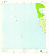
1957 · Keawanui Bay
USGS Topo · 1:24,000
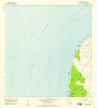
1957 · Mahukona
USGS Topo · 1:24,000
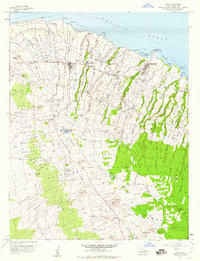
1957 · Hawi
USGS Topo · 1:24,000

1959 · Hawaii North
USGS Topo · 1:250,000

1961 · Hawaii North
USGS Topo · 1:250,000

1975 · Hawaii
USGS Topo · 1:250,000